Hydrographical surveying : a description of means and methods employed in constructing marine charts (1920)
Wharton, W. J. L. (William James Lloyd), 1843-1905, Field, Arthur Mostyn, 1855- · London : J. Murray · leaf 43
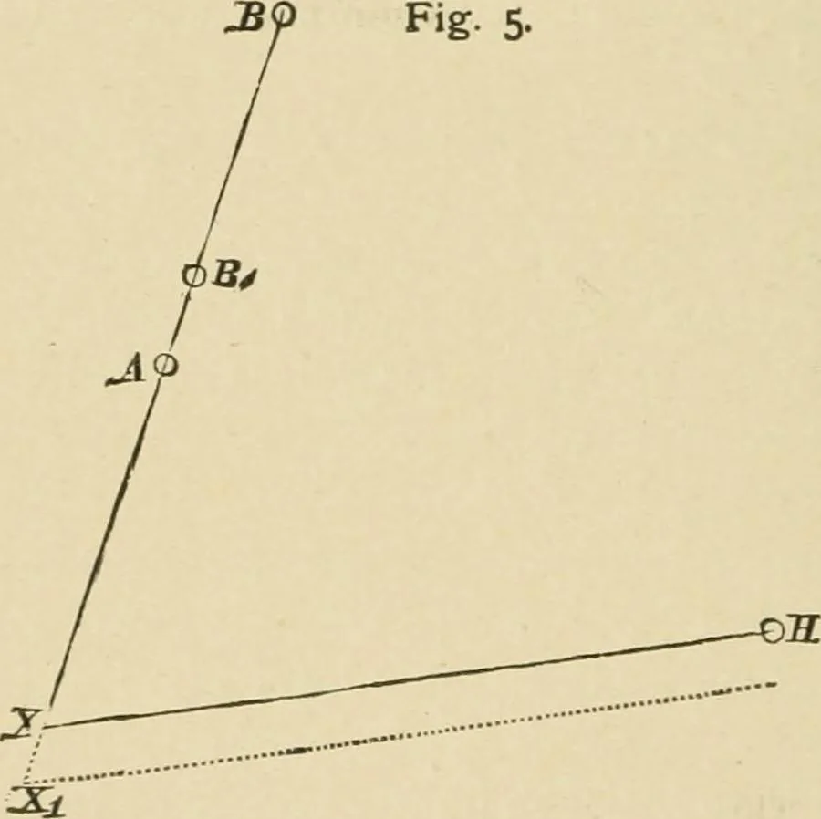
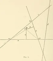
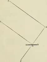
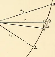
angle must not be small, for a slight error in the angle willmake a great difference in the position ; but if one object bemuch farther off than the other, a very small angle betweenthese will suffice, so long as the third object is so placed as tomake a fairly large angle. An arrangement of the… … One angle to a third object is here enough to fix the position,which is one advantage, another being that if two angles aretaken and placed on the station pointer, the coincidence of theposition, as plotted by these two angles, with the transit line,gives an excellent check. Here, Fig. 5, A and B…
Hydrographic surveying · Nautical charts
Internet Archive · Biodiversity Heritage Library · Public Domain Mark 1.0. Free to use for anything.