Hydrographical surveying : a description of means and methods employed in constructing marine charts (1920)
Wharton, W. J. L. (William James Lloyd), 1843-1905, Field, Arthur Mostyn, 1855- · London : J. Murray · leaf 440
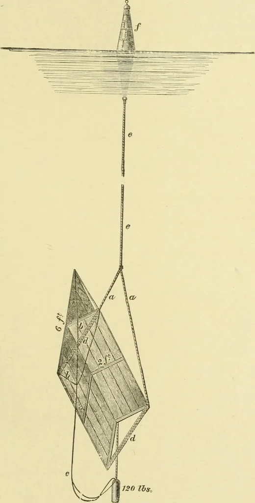
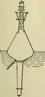
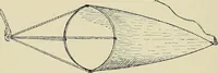
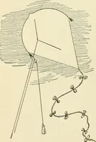
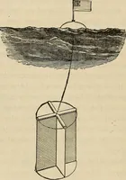
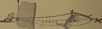
presented an area of less than 1 square footto pull tlirough the water. When the surface current was swift, other buoys had to beadded, attached in line to the upper end of the first, for underthese circumstances the single buoy was dragged under water,and its motion could not be followed. Several… … 120 Ihs, 412 HYDROGRAPHTCAL SURVEYING [chap. xix. Method of -po ascertain the movement of the floating buoy, and there- fl-SCGrtcLin - ing Rate foro the direction in which the drag was carried by the under-and Direc-(j^.j.gj^^^ a fix was taken to shore objects, and plotted on alarge-scale sheet of…
Hydrographic surveying · Nautical charts
Internet Archive · Biodiversity Heritage Library · Public Domain Mark 1.0. Free to use for anything.