Hydrographical surveying : a description of means and methods employed in constructing marine charts (1920)
Wharton, W. J. L. (William James Lloyd), 1843-1905, Field, Arthur Mostyn, 1855- · London : J. Murray · leaf 470
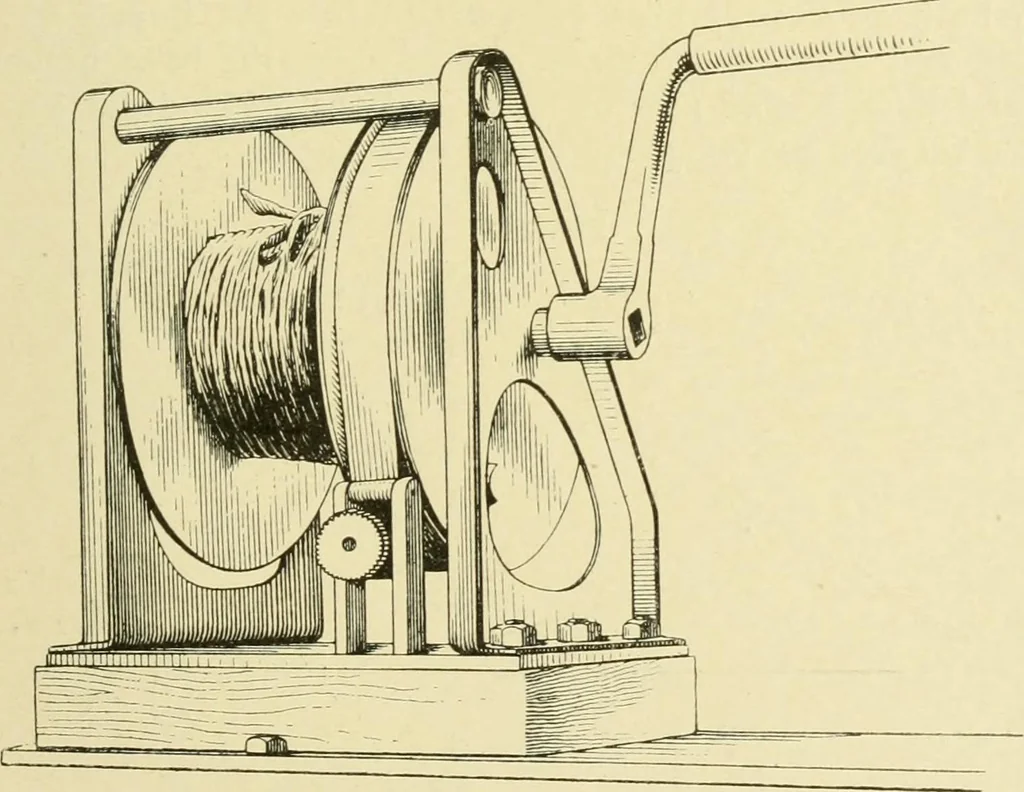
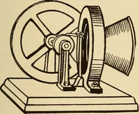
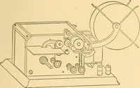
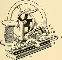
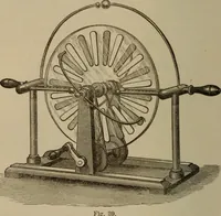
Fig. 98. … Fig. 99. line, secured to a hemp span between the bow and stern ofeach boat. The length of the distance line is exactly equal to that of thesweep wiie; one boat runs the required transit, and the otherkeeps the distance Hne taut. The kite wires are marked in fathoms, and the actual depth 442…
Hydrographic surveying · Nautical charts
Internet Archive · Biodiversity Heritage Library · Public Domain Mark 1.0. Free to use for anything.