Hydrographical surveying : a description of means and methods employed in constructing marine charts (1920)
Wharton, W. J. L. (William James Lloyd), 1843-1905, Field, Arthur Mostyn, 1855- · London : J. Murray · leaf 484
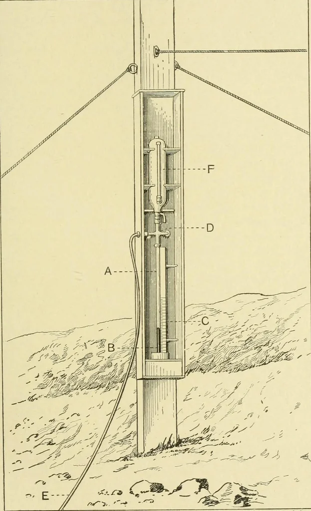
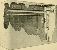
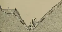
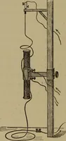
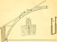
ovide an alternative means of readilyrecording the tide w^hen, for instance at night, it is inconvenientor impossible to obtain the direct readings of the pole. It ismost useful, of course, on a shelving beach, as the mercurygauge, etc., can be fixed up inside the tide watchers hut ortent, or as… … Fig. 109. Emery Walker Ltd. 456 HYDROGRAPHIOAL SURVEYING [chap, xx tical difficulties there are likely to be with the gauge. Similargauges have been used with perfect success by Endeavourand Hearty, using as much as 400 feet of tubing between seaand gauge.* No difificulties were experienced in…
Hydrographic surveying · Nautical charts
Internet Archive · Biodiversity Heritage Library · Public Domain Mark 1.0. Free to use for anything.