Hydrographical surveying : a description of means and methods employed in constructing marine charts (1920)
Wharton, W. J. L. (William James Lloyd), 1843-1905, Field, Arthur Mostyn, 1855- · London : J. Murray · leaf 546
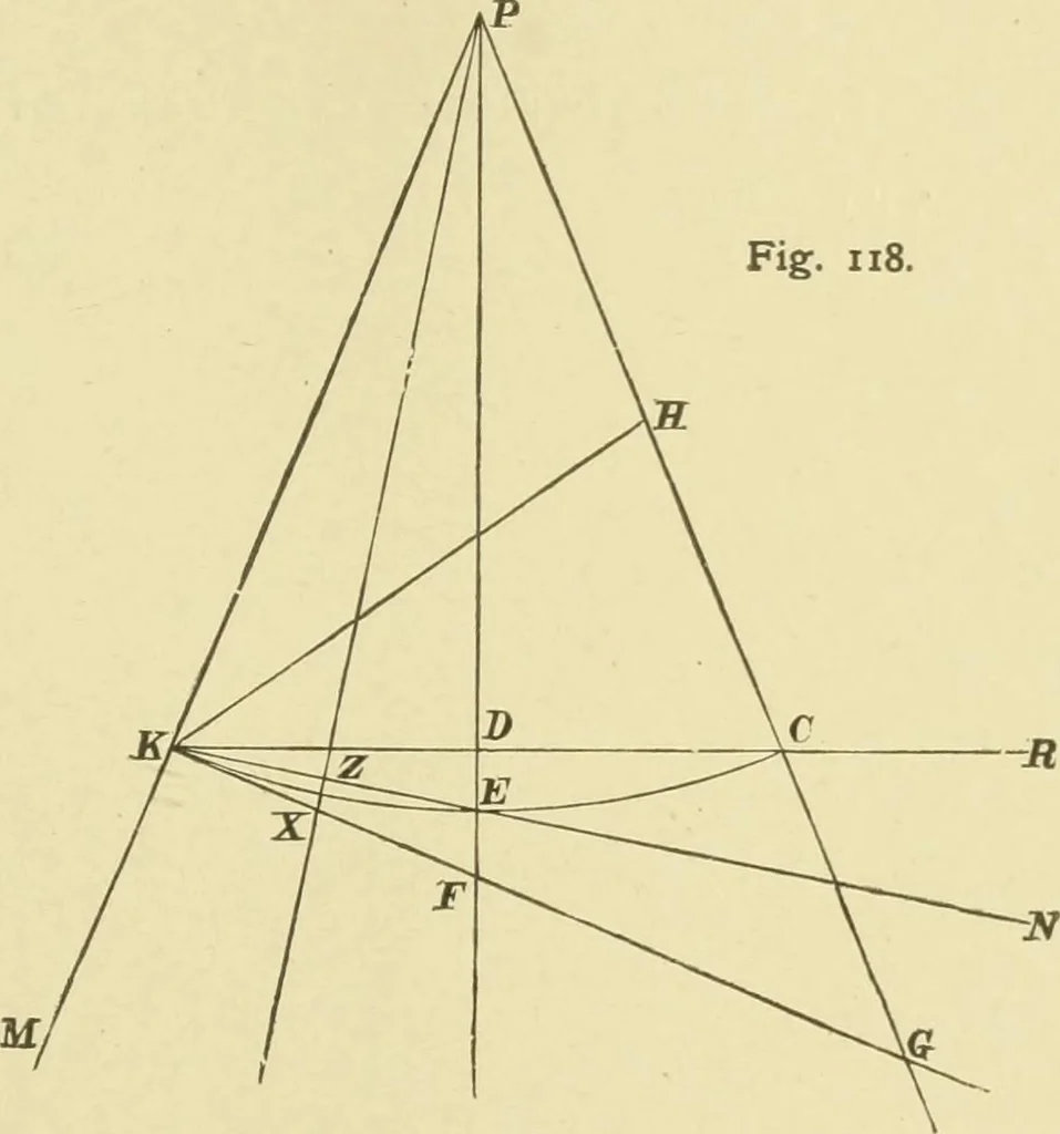
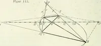
= r X Tan BCD, or Tan B L D = Tan B C D x Tan D L C, or Tan Convergency = Tan dep X Tan Mid Lat., and when Convergency is very fmall, we can sayConvergency = Dep x Tan IMid Lat.516 APP. B.] APPENDIX 517 B.—In Graduating a Chart on the Gnomonic Projection, To show that the angle of half couvergency… … From K and H, the grariuating positions, draw the true bearings, linesK P, P G, which are meridians and will meet at P, the pule of theprojection, making the angle K P C, or the Convergency. Make H C = difference of latitude of H and K. Then P C will equal P K. Join K 0, bisect it in D, and join P…
Hydrographic surveying · Nautical charts
Internet Archive · Biodiversity Heritage Library · Public Domain Mark 1.0. Free to use for anything.
![An illustration from Works. Popular edition.] 2 series (1886)](https://img.insideoutlibrary.com/img/200/bl-bl_003191336_9-335-1.webp)