Hydrographical surveying : a description of means and methods employed in constructing marine charts (1920)
Wharton, W. J. L. (William James Lloyd), 1843-1905, Field, Arthur Mostyn, 1855- · London : J. Murray · leaf 72
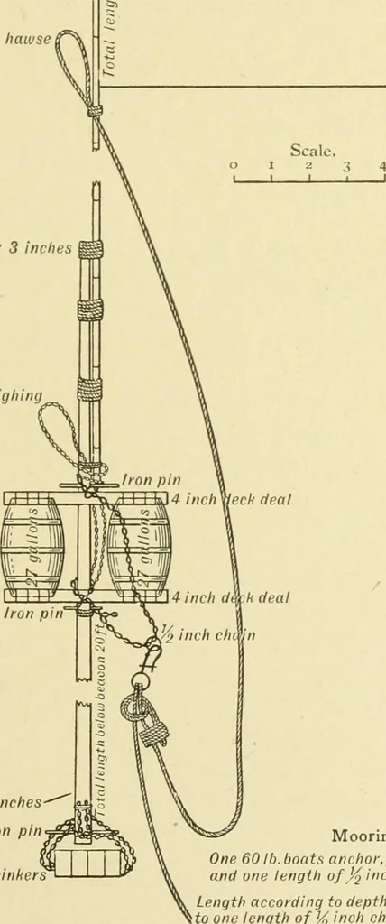
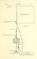
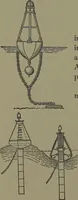
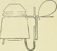
beacon is best accomplished from the mainyard,but the foreyard can be used. The anchor being over on theweather side, and beacon lowered into the water, slip by meansof a large well-greased toggle, as the moorings tauten. CHAP. I.] Fig. 9.Floating Beacon. BEACONS 57 A ttached to reeuing line from… … 3 4 Feet Moorings. One 60 lb. boats anchor, four 56 lb. sinkersand one length of J^ inch chain. Length according to depth of water, attachedto one length ofj^ inch chain at moorings. 58 HYDROGRAPHICAL SURVEYING [ciur. i. Weighing is accomplished best from the foreyard. Havinghooked to the weighing…
Hydrographic surveying · Nautical charts
Internet Archive · Biodiversity Heritage Library · Public Domain Mark 1.0. Free to use for anything.