Military sketching and map reading; including panoramic sketching and aerial photography (1921)
Grieves, Loren Chester, 1878- · Washington : United States Infantry Association · leaf 100
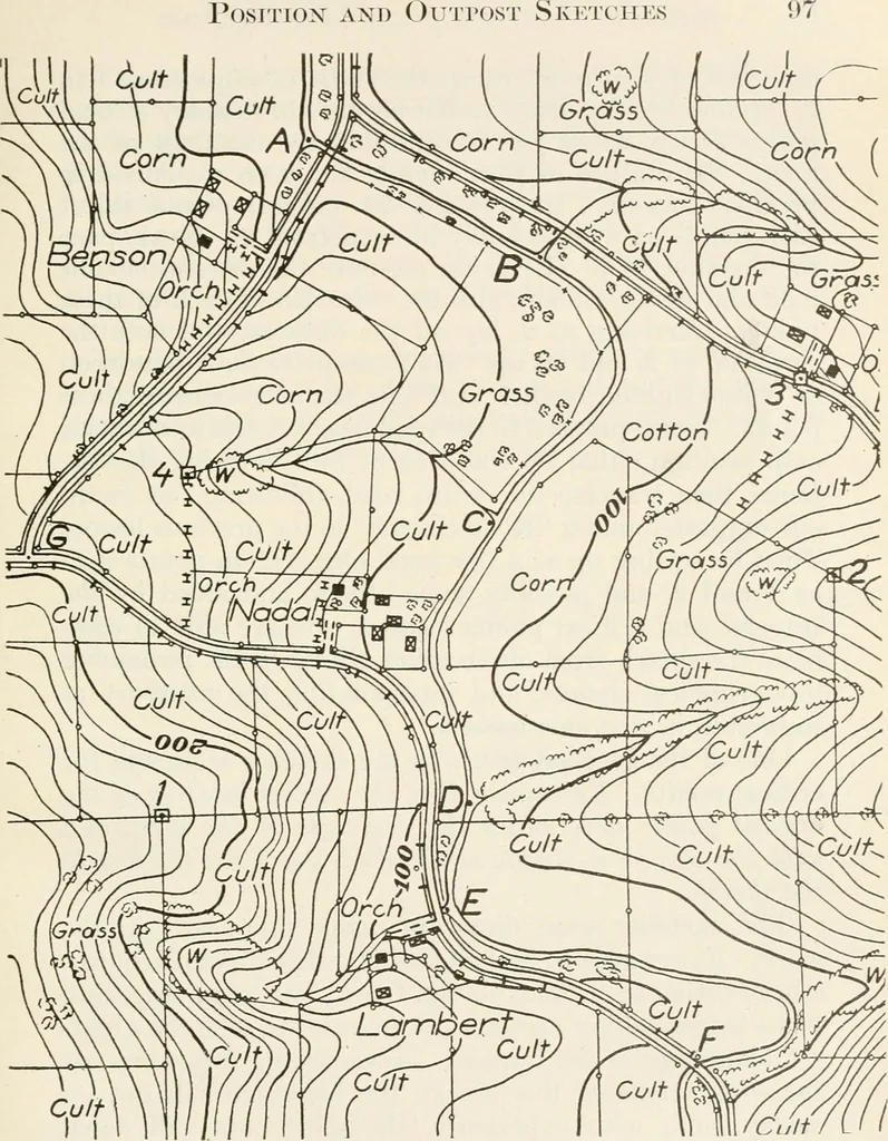
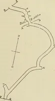
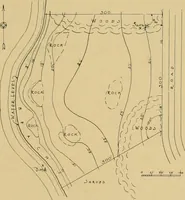
d observing point you haveselected the line, 1-2, as the base line. You are given thealtitude at 1, or the altitude may be computed from some 96 Military Sketching and Map Reading nearby bench mark, or the altitude of 1 may be assumed.In this case we will assume that the altitude at 1 is 228feet.… … POSITION SKETCH Scale. 1 10000V. I. 101 Fig. 34 98 iNIiuTARY Sketching and INIap Reading direction of 2, also determine the angle of slo^^e from 1 to2. Before leaving, draw radiating lines to as many criticalpoints as will assist you in outlining the drainage of thearea. The nature of these points…
Maps, Military · Military sketching
Internet Archive · California Digital Library · Public Domain Mark 1.0. Free to use for anything.