Military sketching and map reading; including panoramic sketching and aerial photography (1921)
Grieves, Loren Chester, 1878- · Washington : United States Infantry Association · leaf 134
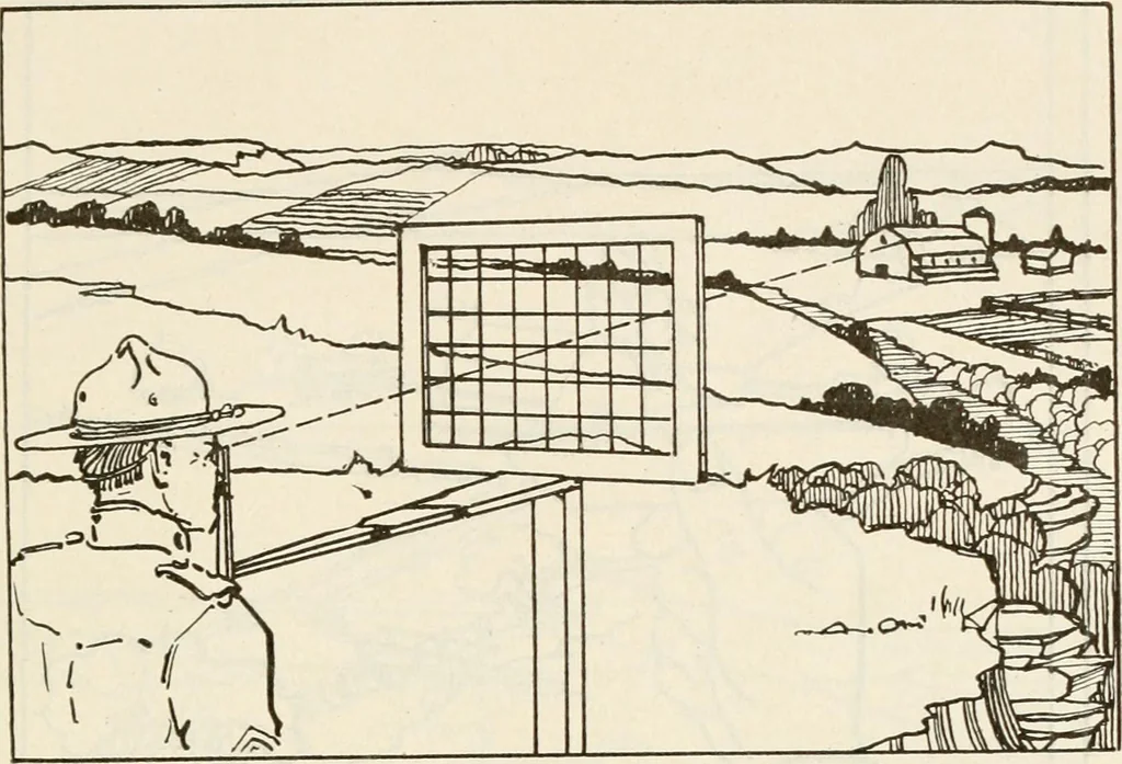
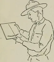
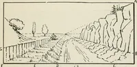
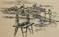
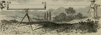
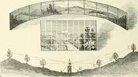
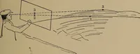
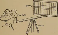
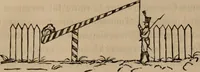
distances between objects in the landscapethat is being sketched. When the pencil is so used, it isusual to use the thumb as a sliding indicator. Examplesof this use of a lead pencil are given in Figs. 52 and 53. For this lesson, the student should ])e provided with thefollowing: 1. Sketch pad,… … Fig. 49
Maps, Military · Military sketching
Internet Archive · California Digital Library · Public Domain Mark 1.0. Free to use for anything.