Military sketching and map reading; including panoramic sketching and aerial photography (1921)
Grieves, Loren Chester, 1878- · Washington : United States Infantry Association · leaf 142
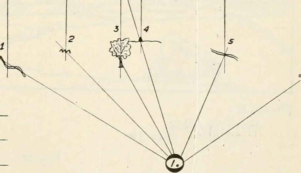
tual fire.The deflection (actual deflection from the aiming point) MACHINE GUN RANGE CARD TARGET RNAS 3u//efi\^Ford Creek (2) 72>//-o/ /2S0 (3)Z.<?/^c Tree (^F/ofTop/iarJk (5) 77 /e/?Ci (b) ForJ 9O0 750 I ISO (2^ 70O -/S AS* 05 f3 0. 2 £ < o u u m C B ff£\-f-S IS tl^ IS. ■lie -6 20 4o_ Si,… … 140 jNIilitary Sketching and Map Reading should already be comj)uted and entered before openingfire, but that data should be changed after delivering fireso as to show the actual data determined by fire. Thespace below the six horizontal lines and above the body ofthe sketch is used for noting the…
Maps, Military · Military sketching
Internet Archive · California Digital Library · Public Domain Mark 1.0. Free to use for anything.