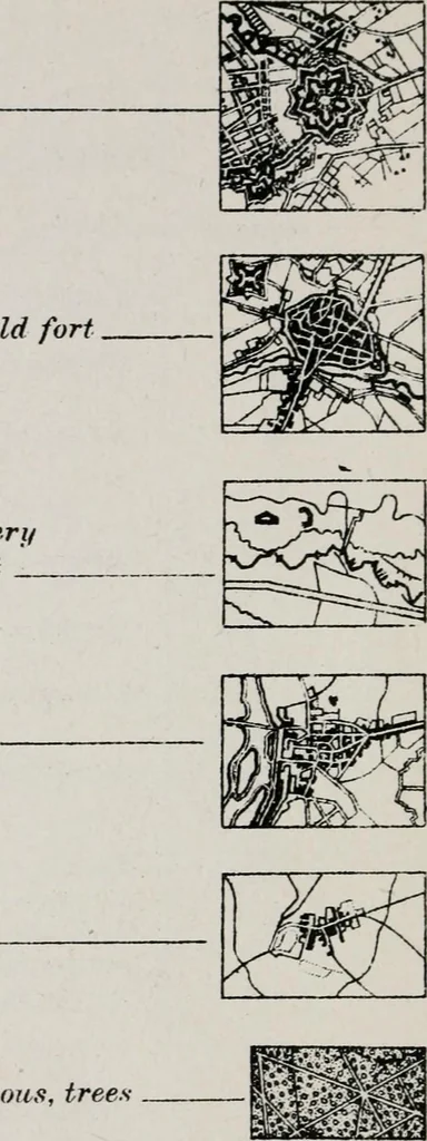
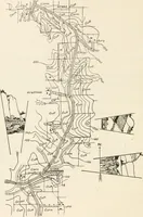
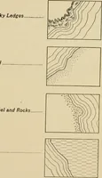
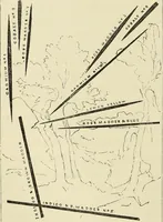
List of conventional signs and abbreviations in use on French and German maps (1918)
United States. Army. A.E.F., 1917-1920. General Staff · Washington : Central Map Reproduction Plant, Engineer School · leaf 21
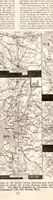
hurch, lighthouse.Chapel Triangukution pointsSecondwry points Xote: The figures which accompanythe symbols above, express inmeters the height above thelevel of the sea. -^236 Clfissificatiorv of place names- <; -PREFECTURES 2 sous PREFECT <%> ■« CANTON @ •3 Coinmune 15 SCALE 1:80,000 arid… … Brush _ kh . A A SCALE i.■80,000 and Black 1:50.000 French Maps Ef Laud(laesif icat Cultioated I mm dated Orchard.s Hedges ufid garderu Peat bos- ioi) y Swam J} Salt Jtfar.sh Vncultirated landand cUff Sand dunes and sand Reef.; above and underwater V Mountains rr/firiT!?.*,.X!!.?r.i: ,,,■
Maps -- Symbols
Internet Archive · California Digital Library · Public Domain Mark 1.0. Free to use for anything.