Maps and map-making; three lectures delivered under the auspices of the Royal geographical society (1910)
Reeves, Edward Ayearst, 1862-1945, Royal Geographical Society (Great Britain) · London, The Royal geographical society · leaf 103
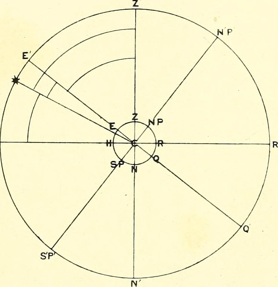
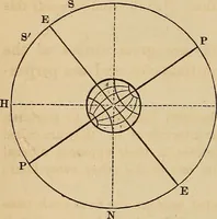
ththe plane of the equator at the centre of the earth. Aglance at the diagram (Fig. 87) will perhaps help to makethis clear. Here the circle in the centre represents theearth, of which the line EQ is the equator, and the lineat right angles to this the axis of the earth, with itsterminal points NP… … Fig. 87.—Finding the Latitude. SURVEY METHODS 85 person on the earth at Z, and HR the rational horizon.The plane of the earths equator projected to the heavenswill be represented by EQ. The line joining the position ofa person at Z to the centre of the earth is shown by ZC, andit is clear then that…
Cartography · Surveying
Internet Archive · Wellesley College Library · Public Domain Mark 1.0. Free to use for anything.