Maps and map-making; three lectures delivered under the auspices of the Royal geographical society (1910)
Reeves, Edward Ayearst, 1862-1945, Royal Geographical Society (Great Britain) · London, The Royal geographical society · leaf 57
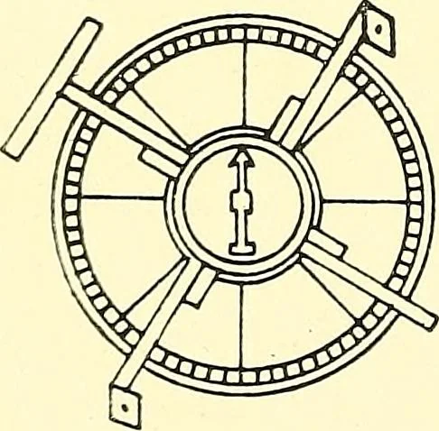
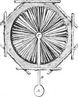
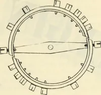
morable journey downthe Zambezi in 1855, and by whichhe, for the first time, explored andconstructed a chart of this river as faras to the Indian Ocean. The date when the compass wasfirst used for land surveying is notknown exactly, but it was probablyabout the early part of the sixteenthcentury.… … Fig. 46.—Old Surveying■ Compass. (From Laussedets Recherches surles Instruments, etc.) INSTRUMENTS 39
Cartography · Surveying
Internet Archive · Wellesley College Library · Public Domain Mark 1.0. Free to use for anything.