Winsor, Justin, 1831-1897 · Boston ; New York : Houghton Mifflin & Co. · leaf 141
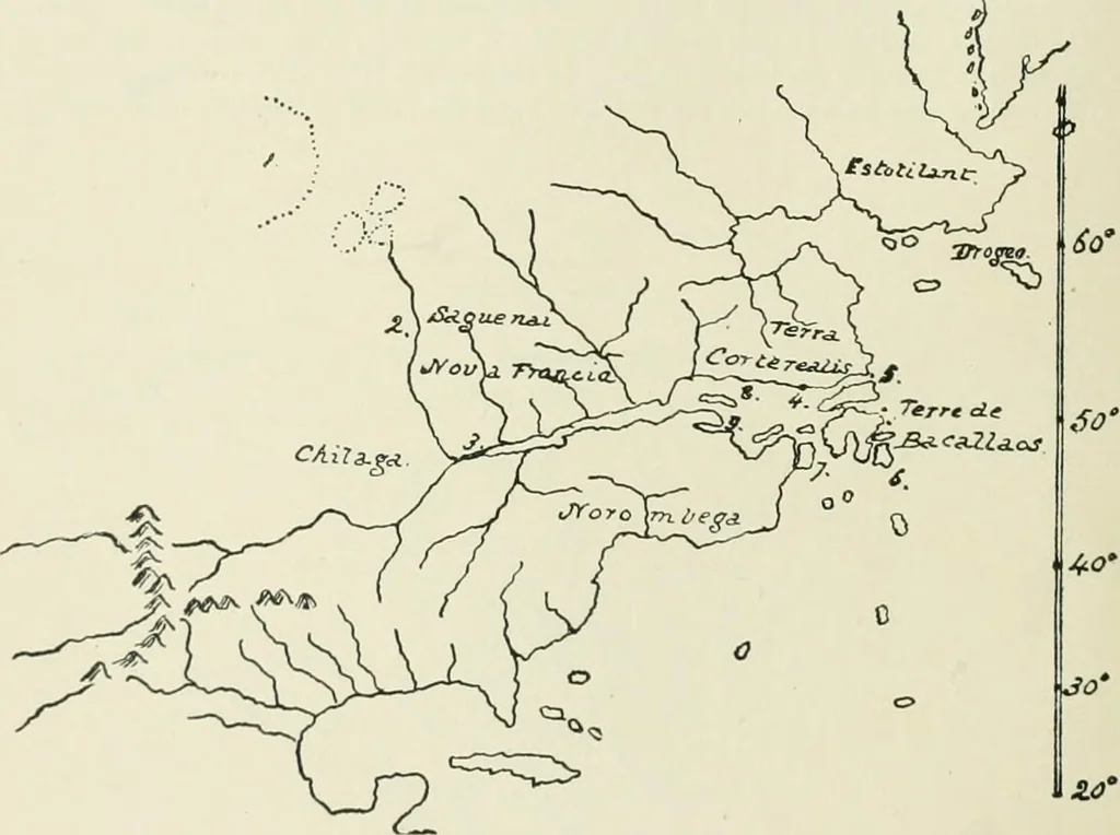
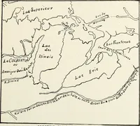
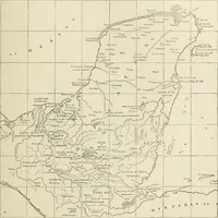
t mappemonde of Gerard Mercator, introducing his well-known projection,followed in 1569. The annexed sketch indicates its important bearing on a portion ofNorth American cartography. The St. Lawrence is extended much farther inland thanever before, with no signs of the Great Lakes, and it is made… … MERCATOR, 1569. Kohl- sums up his essay on this map as follows ; It is a remarkable fact, that whilethe icy .seas and coasts of Greenland, Labrador, Newfoundland, and Canada were depictedon the maps of the sixteenth century with a high degree of truth, our coasts of New Eng-land and New York were…
Cartography
Internet Archive · University of Toronto, Robarts Library · Public Domain Mark 1.0. Free to use for anything.