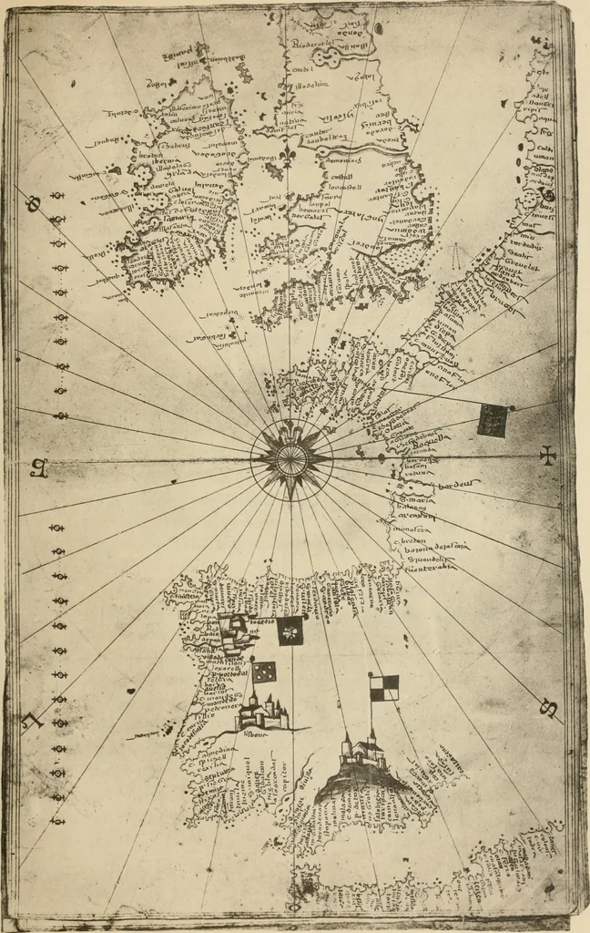
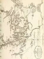
Portolan charts; their origin and characteristics, with a descriptive list of those belonging to the Hispanic society of America (1911)
Stevenson, Edward Luther, 1858-1944, Parr, Charles McKew donor, Parr, Ruth, donor, Hispanic Society of America · New York [The Knickerbocker Press] · leaf 78
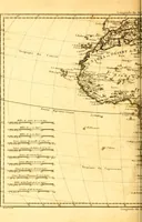
at the top, and twice at the bottom of the chart.Here we also have it distinctly indicated that the samescale was not used for the Atlantic coast that was usedfor that of the Mediterranean. Degrees of latitude aremarked on a meridian passing about five degrees westof the coast of Spain. The chart… … 16. JAUME OLIVES, 1563. CHART THREE OF ATLAS. given a colored border to his continental coasts, but hasadded color liberally to his islands. The three continentsare distinguished by names; cities especially distinguishedby picture are numerous both along the coasts and in-land; numerous river…
Nautical charts · Navigation · Cartography
Internet Archive · Brandeis University Library · Public Domain Mark 1.0. Free to use for anything.