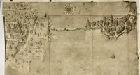
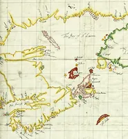
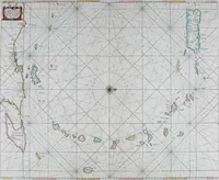
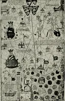
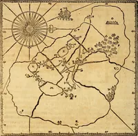
Portolan charts; their origin and characteristics, with a descriptive list of those belonging to the Hispanic society of America (1911)
Stevenson, Edward Luther, 1858-1944, Parr, Charles McKew donor, Parr, Ruth, donor, Hispanic Society of America · New York [The Knickerbocker Press] · leaf 98
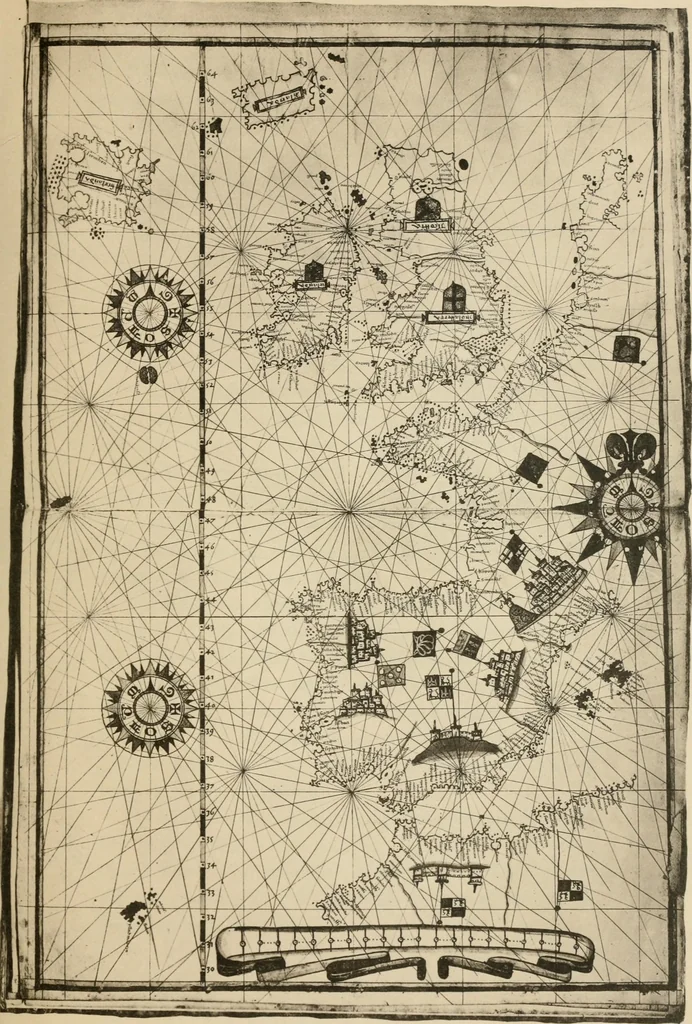
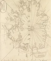
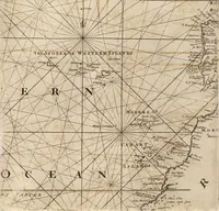
ea, recording in the interior regions onlythe names of the several countries. 2. Chart two includes the central and western Medi-terranean, having compass roses which are especially welldrawn. The several countries of central Europe are eachdistinguished bj^ the representation of at least one… … 18, GIOVANNI MARTINES, 1582 CHART THREE OF ATLAS. p. 20) that a different scale of measurement was used forthe Atlantic coast from that used for the Mediterraneancoast. England and Ireland are remarkably well repre-sented as is the Baltic with the entire Scandinavian region. 4. Chart four includes…
Nautical charts · Navigation · Cartography
Internet Archive · Brandeis University Library · Public Domain Mark 1.0. Free to use for anything.