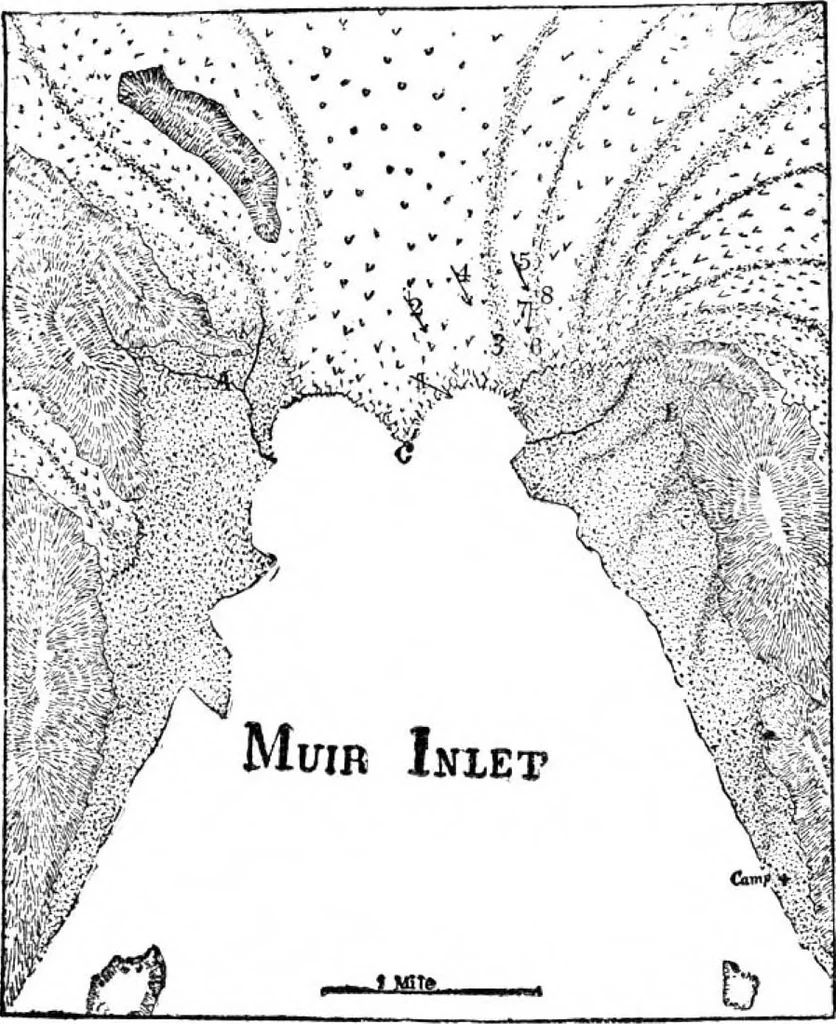
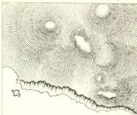
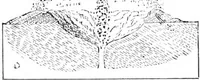
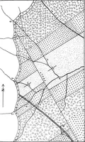
he surface and flow into the bay assub-glacial streams in a year. The most rapid motion is from the north throughthe center, and so rough is the ice here that it is im-possible to cross it. Immense crevasses, ridges, pyra-mids, and towers are mingled in the wildest confusion,as in a stormy sea ;… … Map of Muir Inlet, showing converging moraines and form of front in 1886, A, buried forest; B, base-line. (Courtesy of Prof. G. P. Wright.) for miles up thehundred feet to crevasses, so that one may walkglacier at a gradual ascent of onethe mile until the n^vS is reached. During the summer the…
Lobsters · Patents · Glacier · Adapted · Munn · Scientific American · Illustrated · Ten years · Short time · Years ago · Arc light · Societe anonyme · Twelve hours · Rope traction · Supplemental base · Plate glass
Internet Archive · Public Domain Mark 1.0. Free to use for anything.