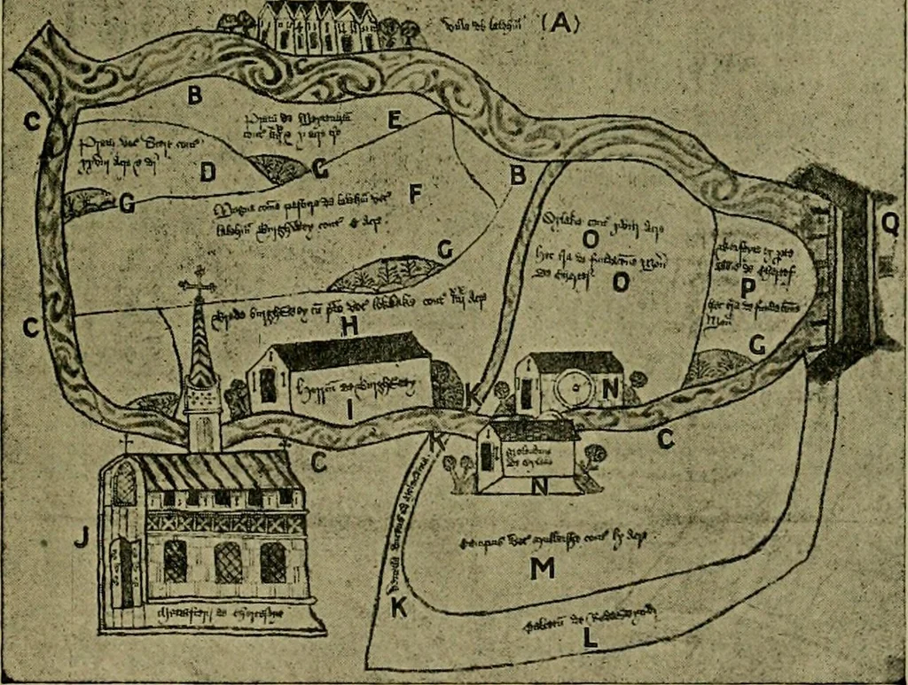
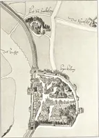
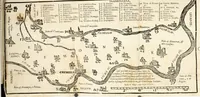
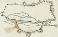
is known as the Bournewhich flows from Virginia Water through NorthlandsMead (Thorpe) near the Redewynd lands; it crossesSt. Annes Road, Chertsey, under Amperstones Bridge,flows through the Cowley meadows and cutting the main the waters of redewynd. 33 Chertsey Street under Stephens Bridge, winds… … PLAN OF THE SITE AND DEMESNE OF CHERTSEY ABBEY. (For Key, see p. 37.) This is Hhe Bourne of the present day; but inmediaeval times a subsidiary branch, which now flowsthrough the Thorpe fields and the grounds of TheOrchard of the old Abbey, was of far greater volumeand much more in evidence than…
Archaeology
Internet Archive · Allen County Public Library · Public Domain Mark 1.0. Free to use for anything.