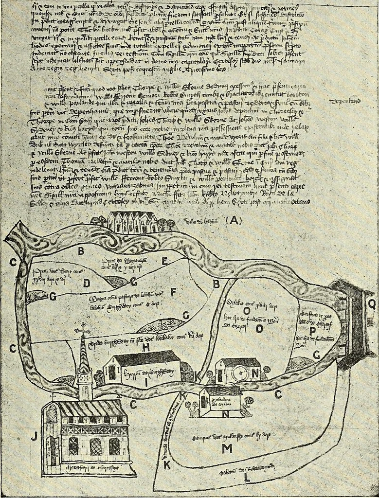
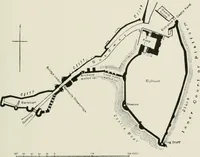
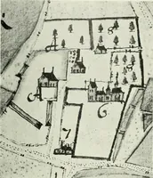
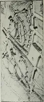
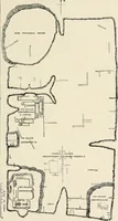
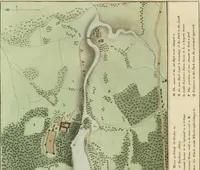
s believed to have stood on the east sideof the parish church. The Redewynd itself is known as the Bournewhich flows from Virginia Water through NorthlandsMead (Thorpe) near the Redewynd lands; it crossesSt. Annes Road, Chertsey, under Amperstones Bridge,flows through the Cowley meadows and cutting… … PLAN OF THE SITE AND DEMESNEOF CHERTSEY ABBEY.(For Key, see p. 37.) This is the Bourne of the present day; but inmediaeval times a subsidiary branch, which now flowsthrough the Thorpe fields and the grounds of TheOrchard of the old Abbey, was of far greater volumeand much more in evidence than now.…
Archaeology
Internet Archive · Allen County Public Library · Public Domain Mark 1.0. Free to use for anything.