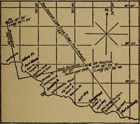
Finch, James Kip, 1883- · New York : John Wiley & Sons, Inc. · leaf 138
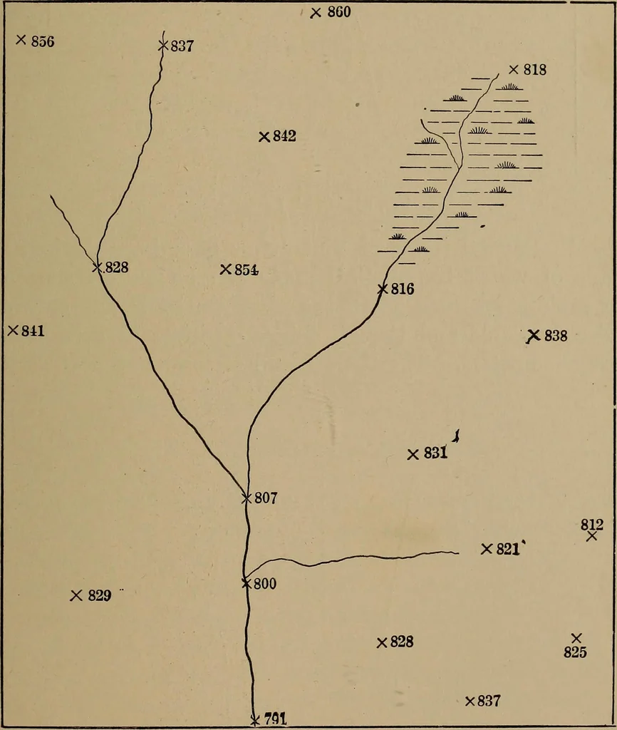
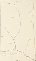
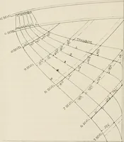
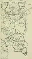
bble, by means ofwhich we can obtain a horizontal line of sight. Thus, in Fig.65 the difference in elevation between A and B is obtainedby setting the instrument at some point between A and B ELEVATIONS 117 and taking readings on rods held at these two points. Thedifference in elevation is equal to… … Fig. 64.—Contour Interpolations Exercise. of this kind is done with several types of instruments, thesimplest of which is the hand level. Such work, however,while accurate, is not rapid and is therefore not suited tosketch mapping. In sketch mapping the method followed is to determine 118 CONTOUR…
Cartography · Military maps
Internet Archive · Library of Congress · Public Domain Mark 1.0. Free to use for anything.