Finch, James Kip, 1883- · New York : John Wiley & Sons, Inc. · leaf 26
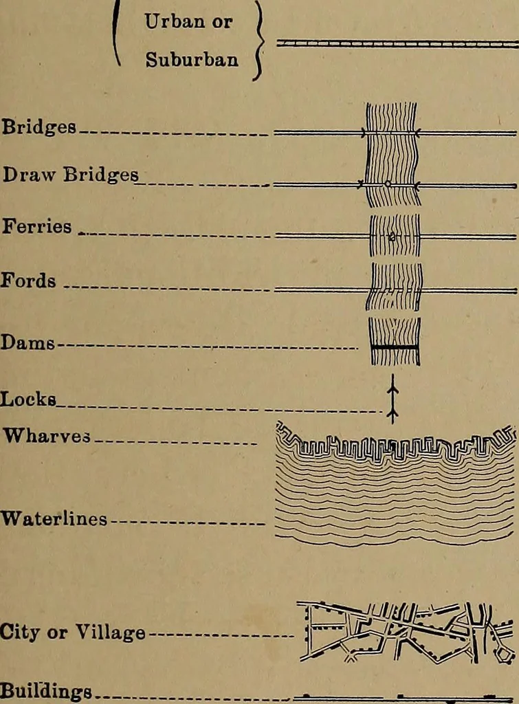
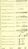
. Triangulation stations andbench marks are permanent points, usually marked on theground by tablets, and used in making the survey for the map. *For complete comparison of practically all government signs see MilitaryTopography. Hagadorn. CONVENTIONAL SIGNS Wagon-roads. Secondary & Private… … Cemetery. ....... ffi Located Township and_Section Corners Triangulation Stations - Bench Marks Mines and QuarriesProspects
Cartography · Military maps
Internet Archive · Library of Congress · Public Domain Mark 1.0. Free to use for anything.