A treatise on land-surveying; comprising the theory developed from five elementary principles; and the practice with the chain alone, the compass, the transit, the theodolite, the plane table, &c. Illustrated by four hundred engravings, and a magnetic chart (1875)
Gillespie, W. M. (William Mitchell), 1816-1868 · New York, D. Appleton · leaf 193
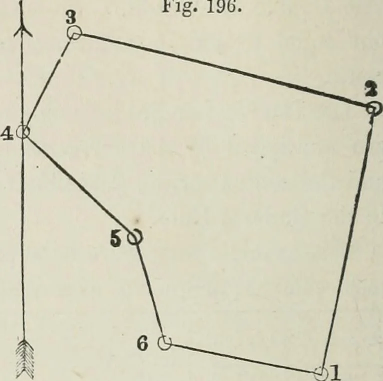
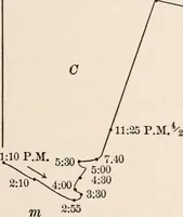
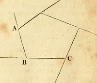
ofthe plat by some of the Geometrical or Instrumental methods givenin Part I, Chapter IV; for no single calculation is ever reliable. 186 COMPASS SURVEYIiXG. [part in. All the examples (except the last) are from the authors actualsurveys. Fiff. 196. Example 2, given below, isalso fullj worked out,… … STATION. BEARINGS. DIS-TANCES. LATITUDES. depturks doublelongitudes. DOUBLE AREAS.1 N. + S— B.+ VV.— N.+ S.— 1 N. 12i° B. 2.81 2.75 .60 + 6.56 18.0400 o N. 76° W. 3.20 .77 3.11 + 4.05 3.1185 3 S. 24.i° W. 1.14 1.04 .47 + A7 .4888 4 S. 48° E. 1..53 1.02 1.14 + 1.14 1.1628 5 S. 12.^° E. 1.12 l.Of)…
Surveying
Internet Archive · California Digital Library · Public Domain Mark 1.0. Free to use for anything.