A treatise on levelling, topography, and higher surveying (1876)
Gillespie, W. M. (William Mitchell), 1816-1868, Staley, Cady, b. 1840, ed · New York, D. Appleton and company · leaf 144
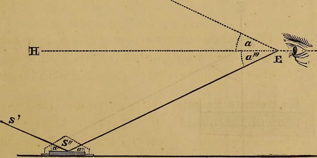
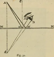
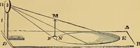
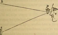
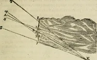
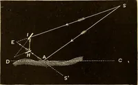
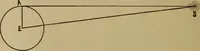
When the Base is inaccessible: Make C = 45°, and D =26°34. Then CD = AB. So, too, if C = 26° 34, andD = 18° 26/. This may be used when a river flows along the base of ahill whose height is desired, or in any other like circumstance. (199,) To observe Altitudes in an artificial Horizon, In this Fig.… … method we measure the angle subtended at the eye betweenthe object and its image reflected from an artificial horizon of 126 LEVELLING, TOPOGRAPHY, AND HIGHER SURVEYING. mercury, molasses, oil, or water* The image of the object inthe mercury is looked at directly, and the object itself isviewed by…
Surveying
Internet Archive · Library of Congress · Public Domain Mark 1.0. Free to use for anything.