A treatise on levelling, topography, and higher surveying (1876)
Gillespie, W. M. (William Mitchell), 1816-1868, Staley, Cady, b. 1840, ed · New York, D. Appleton and company · leaf 25
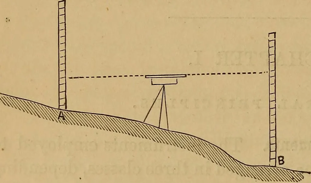
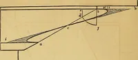
hod. Let A and B, Fig. 2, represent the twopoints. Set the instrument on any spot from which both the points can be seen, and Fig. 2. , . at such a height thatthe level line will passabove the highest one.Sight to a rod held atA, and note the read-ing. Then turn theinstrument toward B,and note the… … (14.) Curvature. The level line given by an instrument istangent to the surface of the earth. Therefore, the line oftrue level is always below the line of apparent level. In Fig. 3,A D represents the line of apparent level,and A B the line of true level. D B isthe correction for the earths…
Surveying
Internet Archive · Library of Congress · Public Domain Mark 1.0. Free to use for anything.