A treatise on surveying, comprising the theory and the practice ; (1887)
Gillespie, W. M. (William Mitchell), 1816-1868, Staley, Cady, 1840- [from old catalog] ed · New York, D. Appleton and company · leaf 423
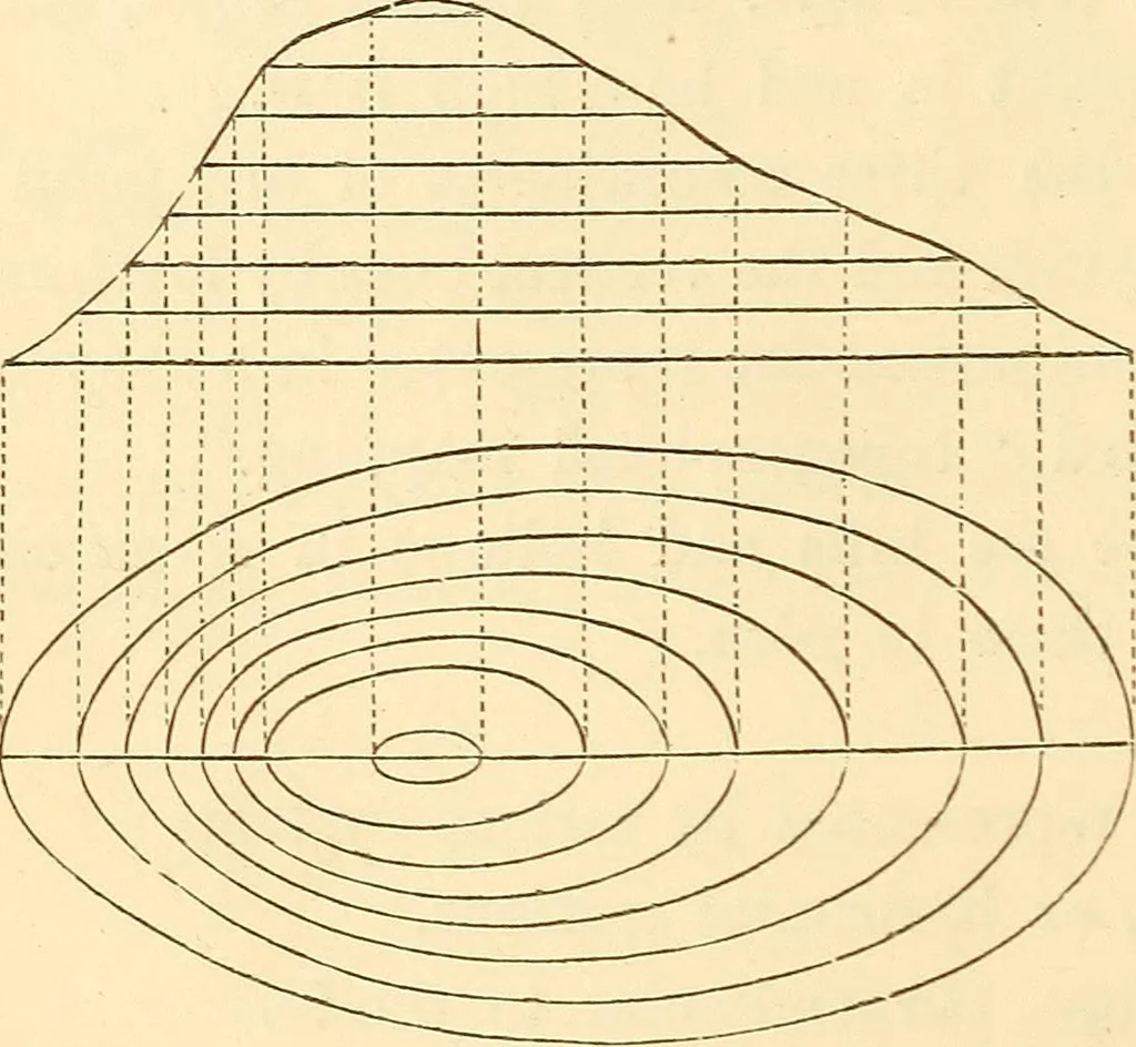
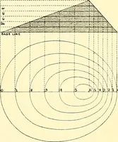
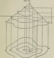
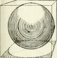
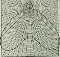
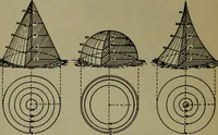
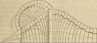
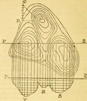
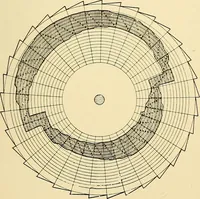
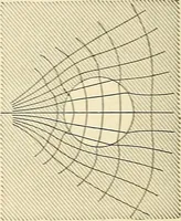
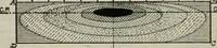
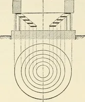
rawn as theywould be seen fromabove, or horizontallyprojected on the map,as in Fig. 438. Theseare contour-lines. They are the same lines as would be formed by water surrounding the hill, and rising one foot (or any other height) at a time till it reached the top of the hill. The edge of the water,… … Fig. 439. Fig. 440. Fig. 441.
Surveying
Internet Archive · Library of Congress · Public Domain Mark 1.0. Free to use for anything.