Military sketching and map reading
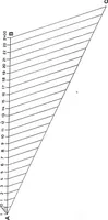
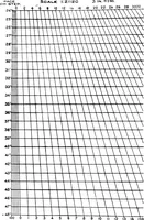
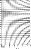
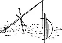
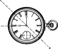
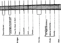
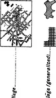
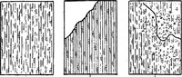
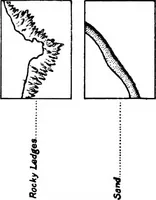
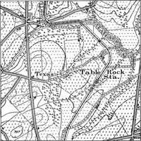
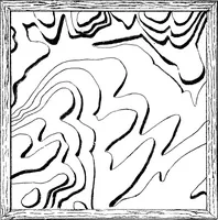
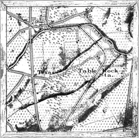
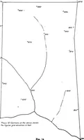
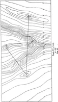
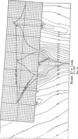
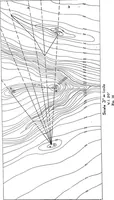
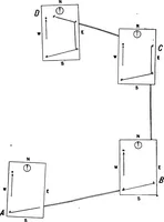
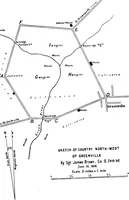
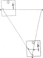
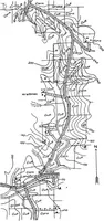
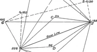
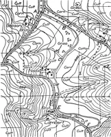
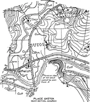
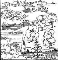
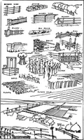
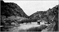
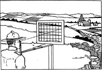
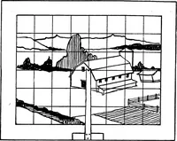
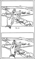
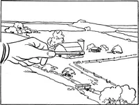
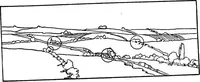
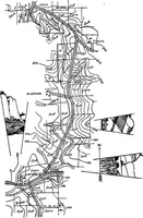
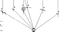
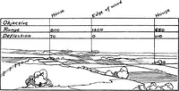
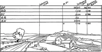
A 1917 field manual by U.S. Army officer Loren C. Grieves, issued in Washington by the United States Infantry Association to train soldiers in topographic sketching and map reading. Line plates give contour maps with hachured hills, resection and visibility diagrams, conventional signs for crops, woods and cuts, and hatched terrain symbols usable as pattern fills and abstract relief textures.