Geological and topographical maps, their interpretation and use, a handbook for the geologist and civil engineer (1911)
Dwerryhouse, Arthur Richard, 1867- · London, E. Arnold · leaf 67
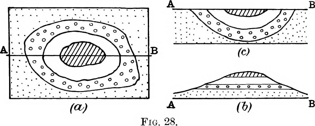
effects of which will be discussed later. The amount of the dip is usually indicated in figures(degrees) printed in proximity to the dip arrow, but it mayalso be estimated by the relation of the outcrop to thecontour lines. Thus, if at one point an outcrop cuts the600-foot contour and at another… … tion of maximum dip. 100 feet per mile is 1 in 52*8 orapproximately 1°. Another means by which an approximation to the dipmay be obtained in cases where no dip arrow is near theline of section, is by comparing the width of the outcropwith that of the same rock in some other part of the area,where…
Cartography · Geology · Topographical drawing
Internet Archive · Cornell University Library · Public Domain Mark 1.0. Free to use for anything.