Hydrographical surveying : a description of means and methods employed in constructing marine charts (1920)
Wharton, W. J. L. (William James Lloyd), 1843-1905, Field, Arthur Mostyn, 1855- · London : J. Murray · leaf 178
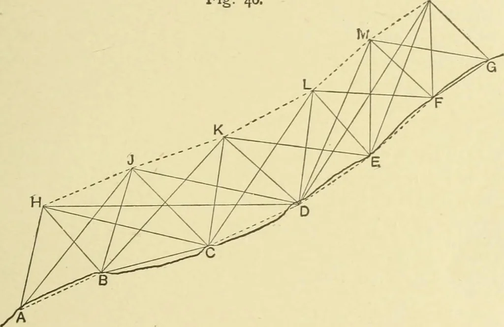
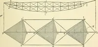
f which B and C are visible from each other. H, J, K, L, M, Nare ships stations, at each of which simultaneous angles areobserved between the four theodohte stations nearest to theship from which she is at that moment shot up. The essentialconditions are that the two first and the two last ship… … results, as explained in Example XIV. The method of cal-culation is precisely the same as in that example, the principlebeing the same in both cases. Having obtained by calculation the lengths of the sides, andthe angles connecting the shore stations, they may be plottedwithout further calculation…
Hydrographic surveying · Nautical charts
Internet Archive · Biodiversity Heritage Library · Public Domain Mark 1.0. Free to use for anything.