Hydrographical surveying : a description of means and methods employed in constructing marine charts (1920)
Wharton, W. J. L. (William James Lloyd), 1843-1905, Field, Arthur Mostyn, 1855- · London : J. Murray · leaf 201
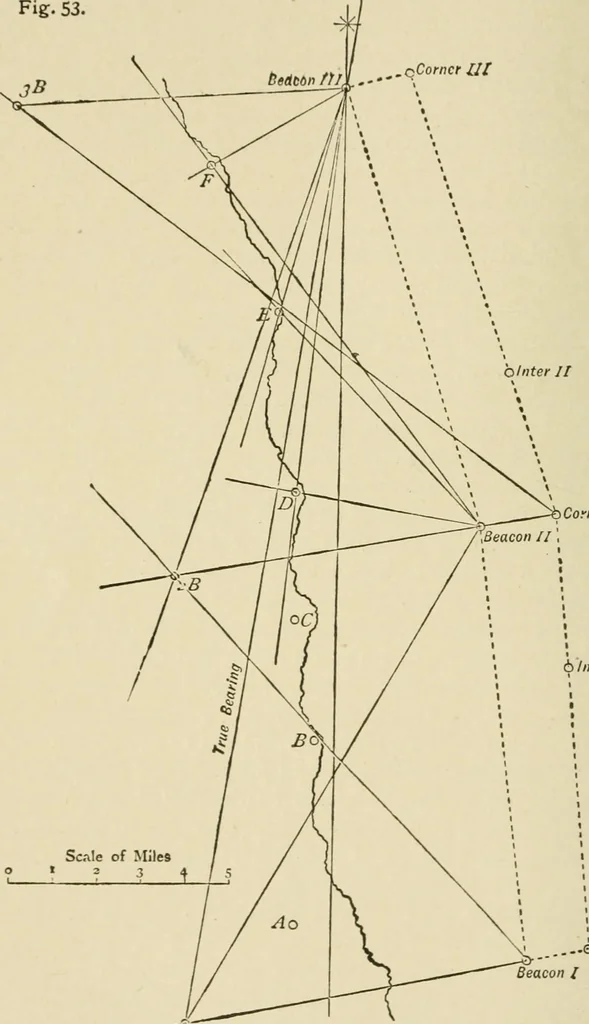
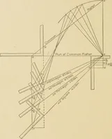
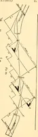
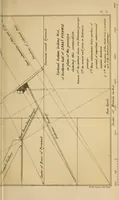
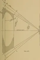
or. Note time and bearing of Beacon II., put over logs, andshape a course parallel to first run. Run back about one-third of the distance. Stop, and makeIntermediate Fix I. When I. is on the same bearing as was II. when logs wereput over, note time, read logs, and stop for the Corner Fix I. Then… … •^Corner II 6 Inter 1 I BreastmarhRunning Survey with Beacons. ...—Q Corner IBeacon / Waiktr &-BoutttUs<, CHAP. VI.] RUNNING SURVEY 181 what we have whilst beacon is being picked up, and willfurnish, enough to sound upon, and ensure filling up properlyand not crossing the old hne, for the…
Hydrographic surveying · Nautical charts
Internet Archive · Biodiversity Heritage Library · Public Domain Mark 1.0. Free to use for anything.