Hydrographical surveying : a description of means and methods employed in constructing marine charts (1920)
Wharton, W. J. L. (William James Lloyd), 1843-1905, Field, Arthur Mostyn, 1855- · London : J. Murray · leaf 40
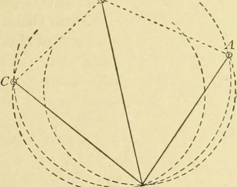
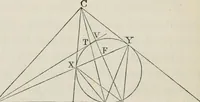
al, but the thirdcircle through the outer points and the observer, which thestation pointer also gives us, cuts at a right angle, and as theposition X cannot be off it, the fix is one of the best. Fig-3- . -. In such a case the whole angle between A and C should beobserved, if not too large (as in… … -- X Let us now take three points and the observers position asin Fig. 4, using the same letters. The angles we have observed give us X as the point of inter-section. It is evident that it is difficult to localise this pointexactly, as all three circles so nearly coincide as make it im-possible to…
Hydrographic surveying · Nautical charts
Internet Archive · Biodiversity Heritage Library · Public Domain Mark 1.0. Free to use for anything.
![An illustration from Divina proportione : opera a tutti glingegni perspicaci e curiosi necessaria oue ciascun studioso di philosophia: prospettiua pictura sculptura: architectura: musica: e altre mathematice: suavissima: sotile: e admirabile doctrina consequira: e delecterassi: co[n] varie questione de secretissima scientia (1509)](https://img.insideoutlibrary.com/img/200/ia-divinaproportion00paci-101-224.webp)
![An illustration from Cours d'architecture enseigné dans l'Academie royale d'architecture : premiere[-cinquième] partie ... (1675)](https://img.insideoutlibrary.com/img/200/ia-coursdarchitectu00blon-345-163.webp)