Hydrographical surveying : a description of means and methods employed in constructing marine charts (1920)
Wharton, W. J. L. (William James Lloyd), 1843-1905, Field, Arthur Mostyn, 1855- · London : J. Murray · leaf 436
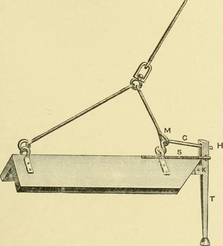
ime, at any required vertical depth down to 40 fathoms withthe red kite, and 30 fathoms with the black kite. Should itstrike the bottom, through the water shalloAving to less than theset depth, it will at once free itself and rise to the surface,simultaneously sounding an alarm on board, thus… … the graduated dial-plate on the winch. One set of graduationson the dial indicates the amount of wire out; the other twosets refer to the red and black kites respectively, and show thedepth at which the sentry is towing. By this machine single soundings down to 40 fathoms can betaken at any time…
Hydrographic surveying · Nautical charts
Internet Archive · Biodiversity Heritage Library · Public Domain Mark 1.0. Free to use for anything.