Hydrographical surveying : a description of means and methods employed in constructing marine charts (1920)
Wharton, W. J. L. (William James Lloyd), 1843-1905, Field, Arthur Mostyn, 1855- · London : J. Murray · leaf 456
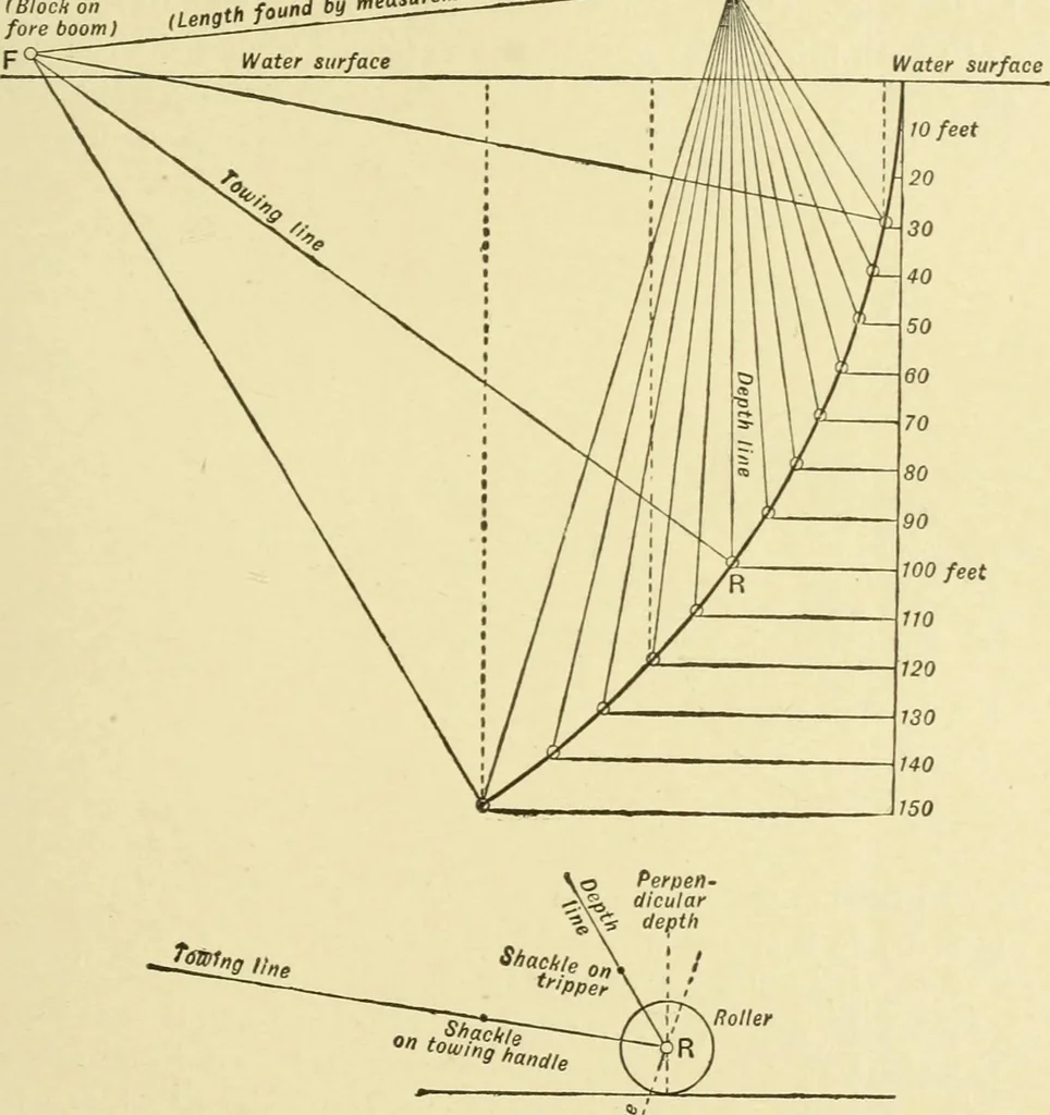
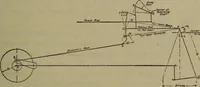
CHAP, XX.] ROLLER SOUNDING 427 the lower booms as low as possible, and the block for the depth-Une as high as possible, in order that the horizontal travel ofthe roller from the 100-foot perpendicular position may be assmaU as possible. Fig. 91. A.^mcnt.as ^el Q (Block on sounding spar) fore boom)… … n If required, this can. however, be allowed for in plotting whenthe scale of the work renders it necessary. As fatted in the Research, when the depth is 30 feet, the rolleris at a horizontal distance of 29 feet abaft the perpendicular, Method. 428 HYDROGRAPHICAL SURVEYING [chap. xx. and is 1…
Hydrographic surveying · Nautical charts
Internet Archive · Biodiversity Heritage Library · Public Domain Mark 1.0. Free to use for anything.
![An illustration from [Electric engineering.] (1902)](https://img.insideoutlibrary.com/img/200/ia-electricengineer03inte-387-245.webp)