Hydrographical surveying : a description of means and methods employed in constructing marine charts (1920)
Wharton, W. J. L. (William James Lloyd), 1843-1905, Field, Arthur Mostyn, 1855- · London : J. Murray · leaf 466
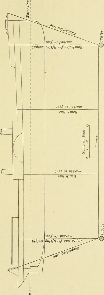
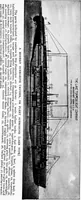
endwith 150 pounds, and supported at each end with 3-inch hemprove through convenient blocks, the distance between the sup-porting blocks being 40 feet greater than the length of sweep.This gives tension sufficient to keep the sweep taut. Up anddown Unes, marked in feet, support the sweep at… … 438 HYDROGRAPHICAL SURVEYING [cHAr. xx. is detected at once; but with a fresh breeze the drifting of theship through the water cau;es the sweep to grow out fromthe ship, and renders it difficult to judge if it touches anything.The intermediate depth-hnes should be kept in hand. The negative results…
Hydrographic surveying · Nautical charts
Internet Archive · Biodiversity Heritage Library · Public Domain Mark 1.0. Free to use for anything.