Hydrographical surveying : a description of means and methods employed in constructing marine charts (1920)
Wharton, W. J. L. (William James Lloyd), 1843-1905, Field, Arthur Mostyn, 1855- · London : J. Murray · leaf 474
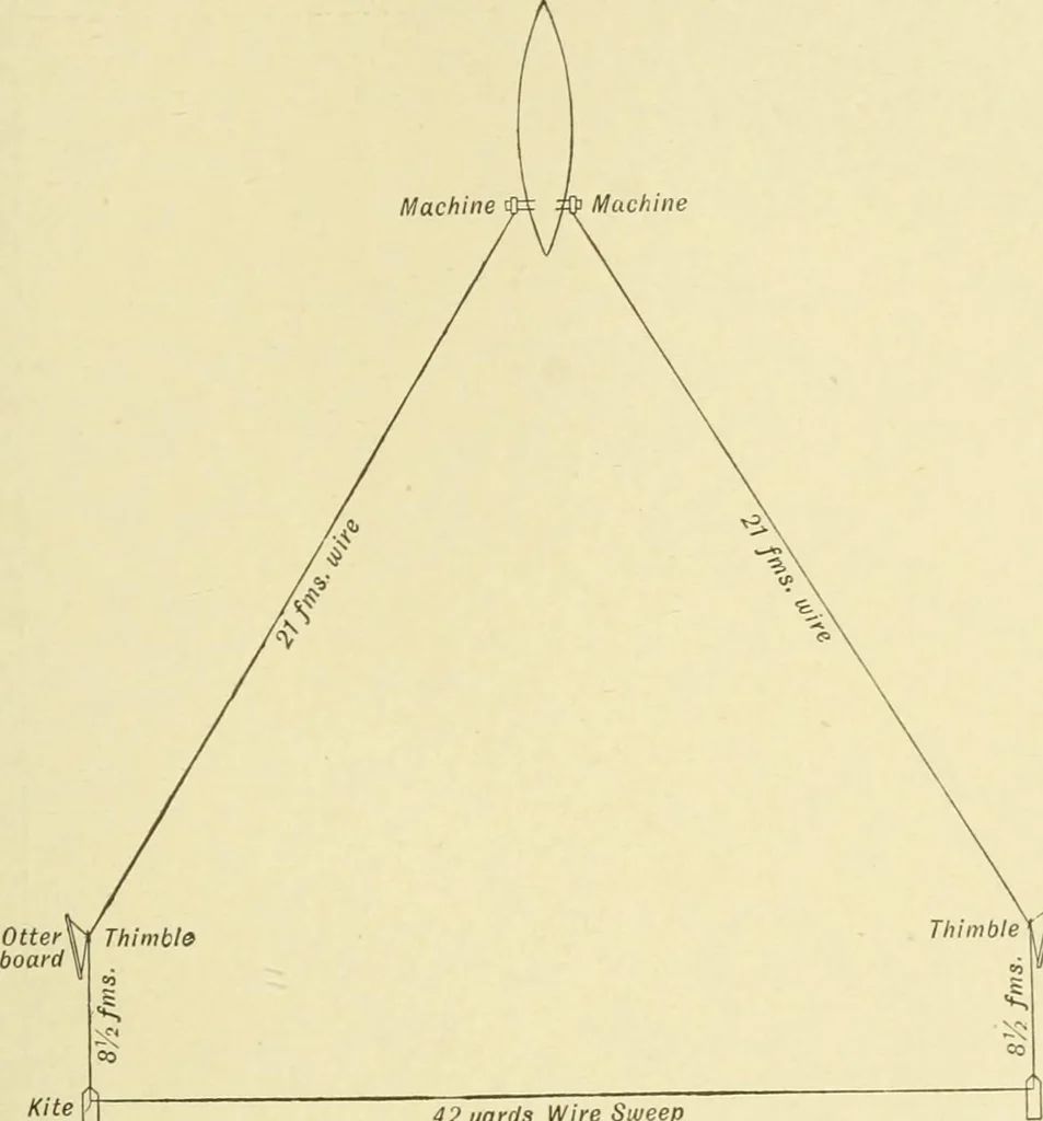
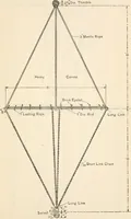
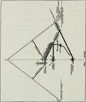
r, one hand should tend its lowertail wue to start it on right tack, or it may foul screw.) 3. Then secure other end of sweep wire to port kite, let outkite and 8 fathoms of kite wire and secure port otter board atsame distance above kite as starboard, and pay out to about20 fathoms kite wire. 4.… … i/K 42 yards Wire Sweep Fig. 102. Otter Sweep set at 6 fms. (Elevation)Not drawn to Scale
Hydrographic surveying · Nautical charts
Internet Archive · Biodiversity Heritage Library · Public Domain Mark 1.0. Free to use for anything.