Hydrographical surveying : a description of means and methods employed in constructing marine charts (1920)
Wharton, W. J. L. (William James Lloyd), 1843-1905, Field, Arthur Mostyn, 1855- · London : J. Murray · leaf 475
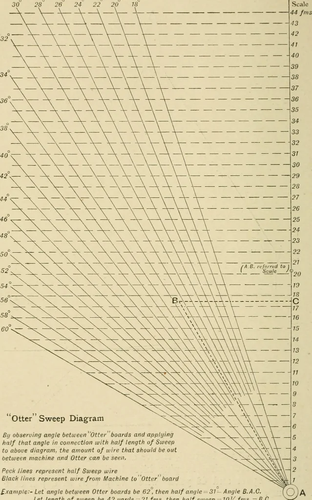
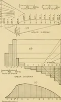
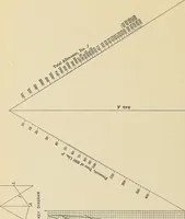
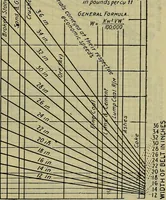
Fig. 103. separate to 45 yards apart, rise to and remain on (or within afoot of) surface, thus keeping kites beneath them at properdistance apart and 42 yards wire sweep taut at depth of 6fathoms. If otters separate too widely, which can easily be seen by 446 HYDROGRAPHICAL SURVEYING [chap. XX. … otter Sweep Diagram By observing angle between Otter boards and applyinghalf that angle in connection with half length of Sweepto above diagram, the amount of wire that should be outbetween machine and Otter can be seen. Peck lines represent half Sweep wire Black lines represent wire from Machine…
Hydrographic surveying · Nautical charts
Internet Archive · Biodiversity Heritage Library · Public Domain Mark 1.0. Free to use for anything.