Hydrographical surveying : a description of means and methods employed in constructing marine charts (1920)
Wharton, W. J. L. (William James Lloyd), 1843-1905, Field, Arthur Mostyn, 1855- · London : J. Murray · leaf 479
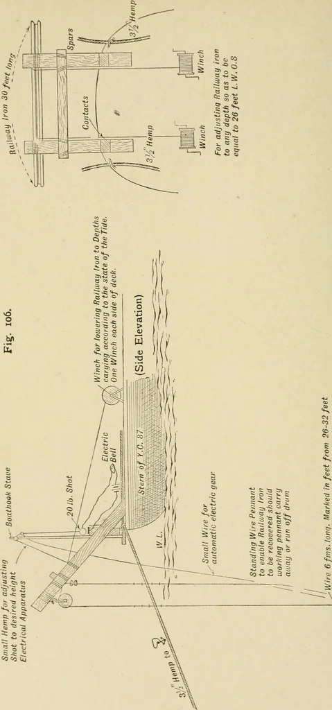
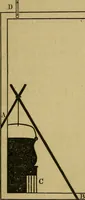
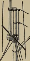
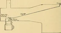
From the spars mentioneda railway iron 30 feet long was slung athwartships by two wirepennants about 6 fathoms long, shackled on near each end ofthe iron, enabling the bar to be raised cr lowered as requiredby means of winches. These pennants were marked in feetfrom 25 to 32 feet with spun yarn for… … ^^^^^^^ CHAP. XX.] SWEEPING OF SHEERNESS BAR Pennant marked in feet from 26 to 32 feet K 451
Hydrographic surveying · Nautical charts
Internet Archive · Biodiversity Heritage Library · Public Domain Mark 1.0. Free to use for anything.