Hydrographical surveying : a description of means and methods employed in constructing marine charts (1920)
Wharton, W. J. L. (William James Lloyd), 1843-1905, Field, Arthur Mostyn, 1855- · London : J. Murray · leaf 496
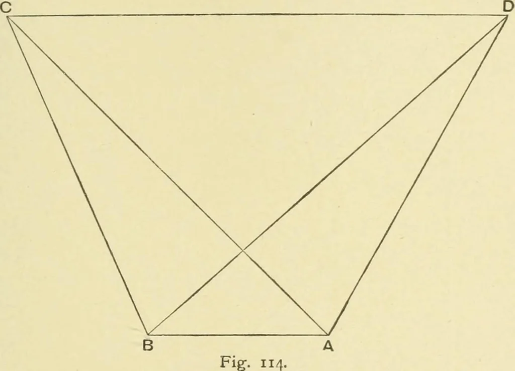
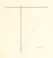
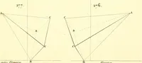
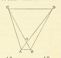
(2) true position P is on the prolongationof the line B P3 at the distance where P3 P=2B P,. CHAP. XX.] FIXING POSITIONS 467 The problem stated in Example VIII., p. 141, may be utilised Fixingfor fixing the position of a rock when only two objects are in °^^ ^°^^sight, the exact distance between… … being taken at B between C and D and C and A, and alsosimultaneously angles at A between D and C and D and B,by assuming a distance between A and D or B and C, the otherangles can be found as before, and the distance between C andD then utilised to find the distance of the rock B from both Cand D.…
Hydrographic surveying · Nautical charts
Internet Archive · Biodiversity Heritage Library · Public Domain Mark 1.0. Free to use for anything.