Maps and map-making; three lectures delivered under the auspices of the Royal geographical society (1910)
Reeves, Edward Ayearst, 1862-1945, Royal Geographical Society (Great Britain) · London, The Royal geographical society · leaf 122
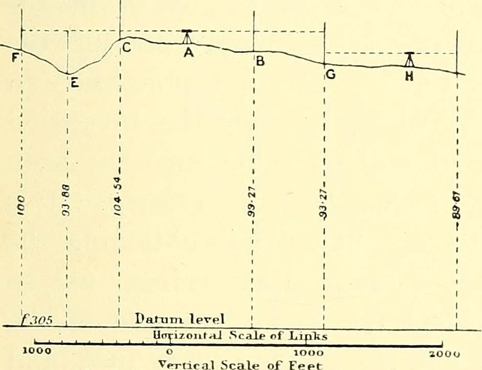
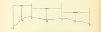
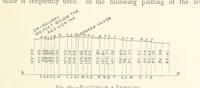
to refraction andother causes are eliminated. Heights by theodolite vertical angle method meanssetting the theodolite up at a known station A (Fig. 103),and taking a very careful vertical angle to a distant pointB, of which the height has to be found, and of which thedistance is known. Then, if the…
Cartography · Surveying
Internet Archive · Wellesley College Library · Public Domain Mark 1.0. Free to use for anything.