A new treatise on the practice of navigation at sea : containing all the details necessary to enable the mariner to become a good practical navigator. (1902)
Thoms, William · New York : Printed for the author and sold by John Bliss & Co · leaf 96
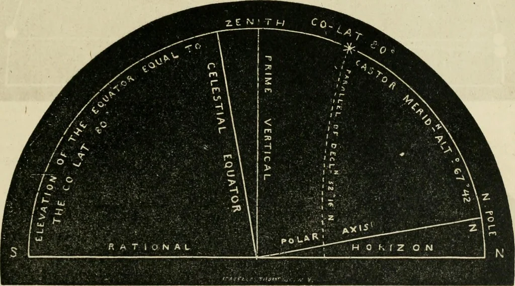
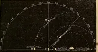
e Star, and its distance from the nearest Horizo»ia its Meridian Altitude South. In this case, the elevation of the upper end of the Equator above the Horizon being equal to the Co-Lat-itude of 60* South, and the Declination of the Star 52* 27 South, both of the same name, their Sum 111*17 exceeds… … TO CONSTRUCT THK FIGURK. Elevate th» Polar Axis equal to the Latitude of 10* North, and draw the Equator at right angles to Itrom the Equator lay off the Declination of the Star, 32° 18, on the Meridian towards the North, whieb*all be the Stars place. Then its distance from the nearest Horizon is…
Navigation · Nautical astronomy
Internet Archive · California Digital Library · Public Domain Mark 1.0. Free to use for anything.