The North end, a survey and a comprehensive plan (1919)
Boston (Mass.). City Planning Board, Cram, Ralph Adams, 1863-1942 · City of Boston, Printing department · leaf 42
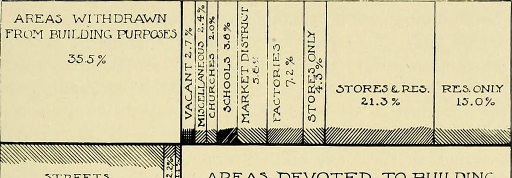
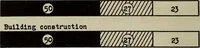
2,600107,670 816,960 36.3 7.8 2.7 4. Extraneous or stores 20.5 Total lot areas 5. Streets, alleys, etc.. . 974,180617,170 61.238.8 826,860335,770 71.228.8 900,880336,465 72.827.2 2,701,9201,289,405 67.832.2 Grand total 1,591,350 100 1,162,630 100 1,237,345 100 3,991,325 100 * Portion of Gas Company… … 5TREET^3Z.Z % AREAS DEVOTED TO BUIUDING.64. J Vo TOTAL ARE AC) OF THE NORTH END. FIG. 15.- DIAGRAM SHOWING RELATIVE EXTENT OF AREAS DEVOTEDTO VARIOUS USES. To the recreational area might be added also thatportion of the school yards now opened for recreationa part of the time. XI.—RECREATION…
Municipal services · City planning · Working class · Housing
Internet Archive · Boston Public Library · Public Domain Mark 1.0. Free to use for anything.