Surveying, with sections on map reading. military sketching and topographic drawing (1919)
United States. War dept. Committee on education and special training. [from old catalog] · Washington · leaf 126
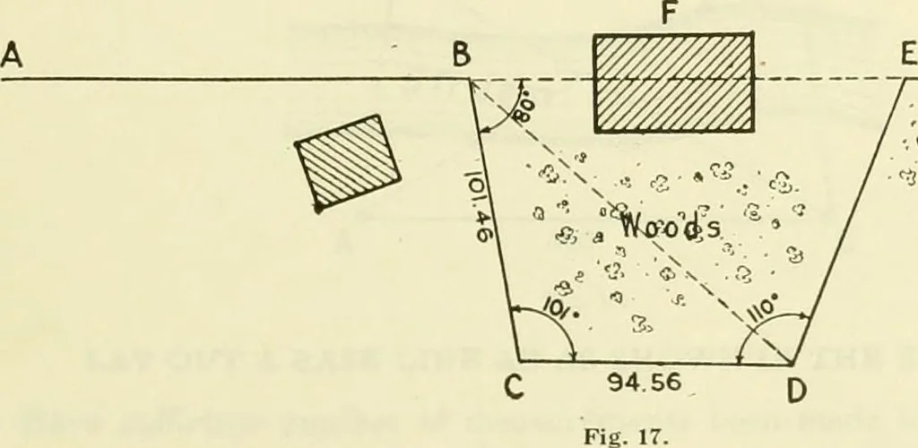
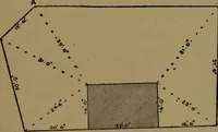
does not check, what is the next step? 10. Why should the position of the tack on the stake be checked for direction? 11. How does the measured distance BC check with calculated distance?13. If there is error where is it most likely to occur? WAR DEPARTMENT COMMITTEE ON EDUCATIONAND SPECIAL… … 2 STAKE OUT FIGURE SHOWN ABOVE, USING INFORMATION GIVEN. 1. Have all the precautions been observed necessary for careful transit work? 2. Why should the angles be laid off by repetition? 3. Have the distanes BC and CD been measured very carefully? 4. Why should the diagonal distance BD be measured?…
Surveying · Military topography · Topographical drawing
Internet Archive · Library of Congress · Public Domain Mark 1.0. Free to use for anything.