Surveying, with sections on map reading. military sketching and topographic drawing (1919)
United States. War dept. Committee on education and special training. [from old catalog] · Washington · leaf 242
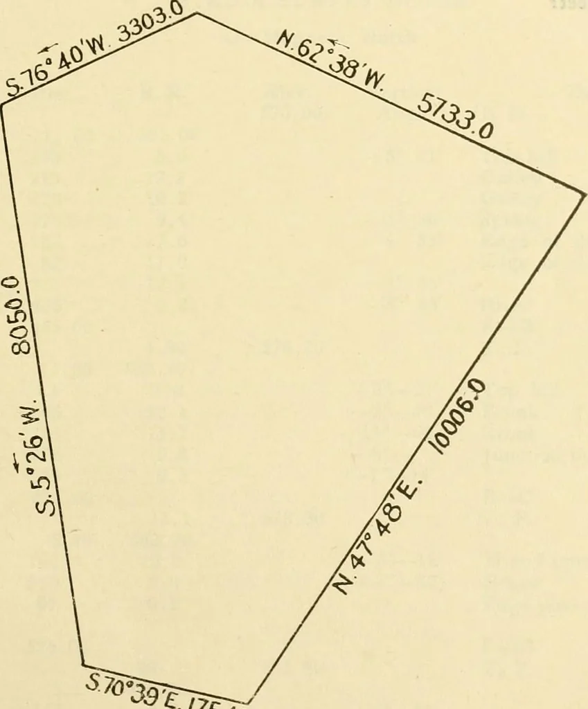
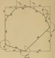
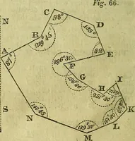
the accuracy of the plotting by latitudes and departures ? 15. Have you calculated the latitudes and departures of the several boundaries of this survey? 16. Does the survey need balancing? Has this been done? WAR DEPARTMENT COMMITTEE ON EDUCATIONAND SPECIAL TRAINING K. O. r C. SURVEYING JOB No.… … ^5<o 1, How have the rectangular co-ordinates of this survey been calculated? 2. Does the algebraic summation of these co-ordinates equal zero? WAR DEPARTMENT R- o t. c JURVEYINOCOMMITTEE ON EDUCATIOK jOB No 316 AND SPECIAL TRAINING PAGE a 3. Knowing the rectangular co-ordinates of any two…
Surveying · Military topography · Topographical drawing
Internet Archive · Library of Congress · Public Domain Mark 1.0. Free to use for anything.