A treatise on land-surveying; comprising the theory developed from five elementary principles; and the practice with the chain alone, the compass, the transit, the theodolite, the plane table, &c. Illustrated by four hundred engravings, and a magnetic chart (1875)
Gillespie, W. M. (William Mitchell), 1816-1868 · New York, D. Appleton · leaf 322
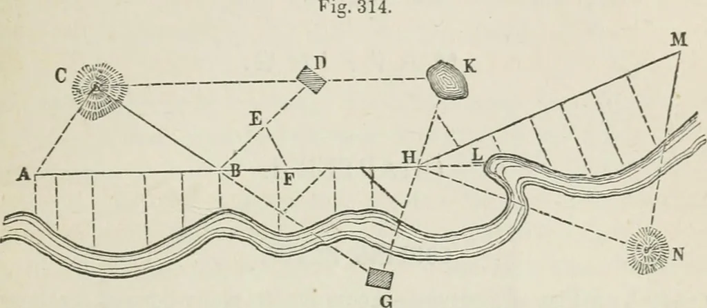
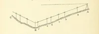
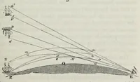
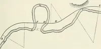
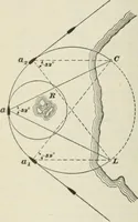
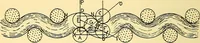
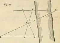
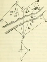
eet; a storm or tempest 80 feet; a great storm 100 feet; a hurricana120 feet; aiid a violent hurricane, that tears up trees, &c., 150 feet per second PART IS ] SURTETIXG WITHOri IXSTRUMEMS. 315 The method referred to in Art. (11) may also be employed. WTien a sketch has made some progress, new… … The hill C is determined by the fiist method. The river on theother side of AB is determined by offsets according to theSecond Method. The house D is determined by the Third Method,EBF being a chain angle. The house G is determined by theFourth Method, chain angles being measured at B and H, a…
Surveying
Internet Archive · California Digital Library · Public Domain Mark 1.0. Free to use for anything.