A treatise on levelling, topography, and higher surveying (1876)
Gillespie, W. M. (William Mitchell), 1816-1868, Staley, Cady, b. 1840, ed · New York, D. Appleton and company · leaf 25
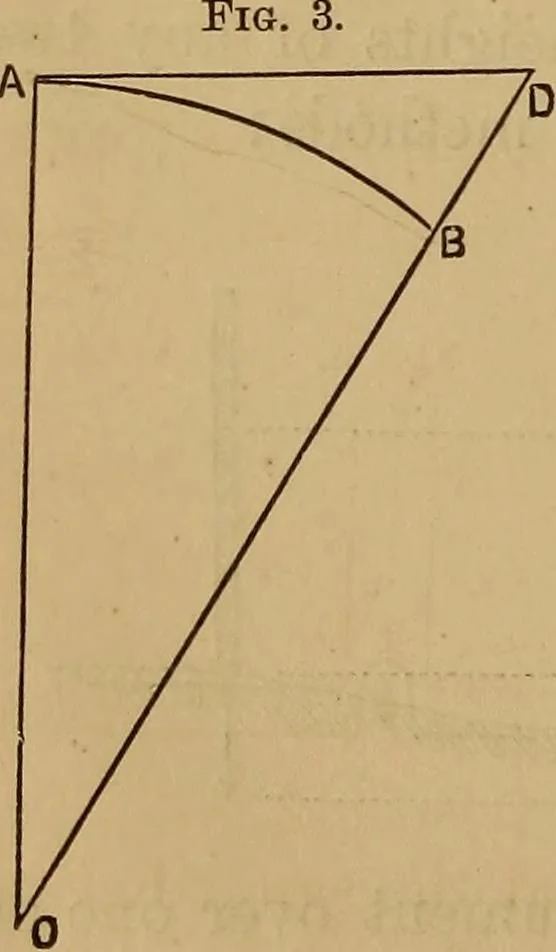
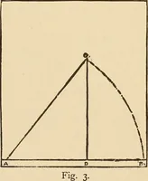
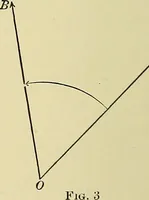
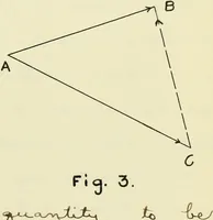
(14.) Curvature. The level line given by an instrument istangent to the surface of the earth. Therefore, the line oftrue level is always below the line of apparent level. In Fig. 3,A D represents the line of apparent level,and A B the line of true level. D B isthe correction for the earths… … DB = 2BO i. e., the correction equals the square ofthe distance divided by the diameter of the earth. PERPENDICULAR LEVELS.The difference of height for a distance of 1 mile = 5280 x 12 7916 7916 = 8 inches. This varies as the square of the distance. The effect, ifneglected, is to make distant…
Surveying
Internet Archive · Library of Congress · Public Domain Mark 1.0. Free to use for anything.