Geological and topographical maps, their interpretation and use, a handbook for the geologist and civil engineer (1911)
Dwerryhouse, Arthur Richard, 1867- · London, E. Arnold · leaf 78
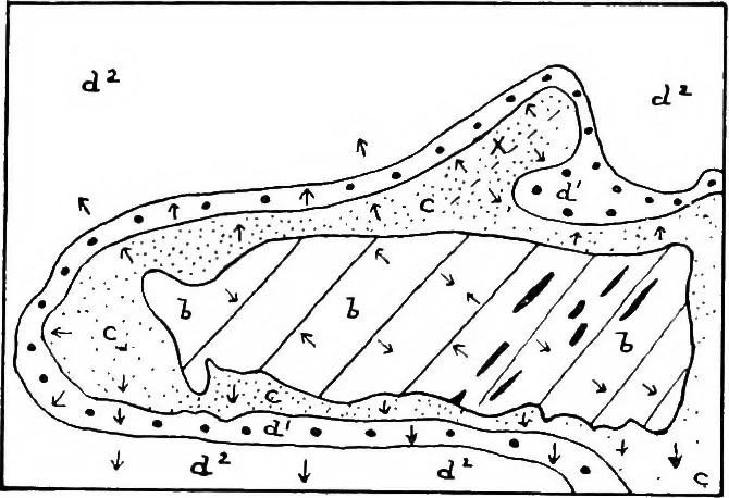
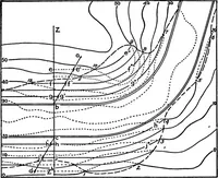
d of Callan is an exposureof Silurian rocks forming an inlier; these are coveredunconformably by the Old Red Sandstone, which isfollowed by the Carboniferous series. The Silurian rocks INCLINED AND FOLDED STRATA 65 were strongly folded along a north-east to south-west line(Caledonian), being thrown… … Fig. 42.—6, Silurian; c, Old Red Sandstone ;dl and d2, Carboniferous Rocks. and a subsequent folding along an east and west line(Armorican), the Silurian inlier occurring in an anticlineof this series. There then followed a minor movementalong the original Caledonian axis, the evidence for whichis…
Cartography · Geology · Topographical drawing
Internet Archive · Cornell University Library · Public Domain Mark 1.0. Free to use for anything.