Geological and topographical maps, their interpretation and use, a handbook for the geologist and civil engineer (1911)
Dwerryhouse, Arthur Richard, 1867- · London, E. Arnold · leaf 85
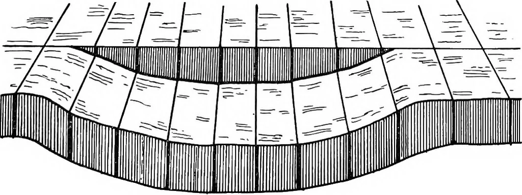
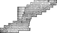
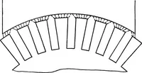
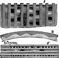
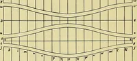
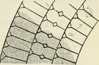
Fig. 46. … Fig. 47. modifying the outcrops, and must therefore be taken intoaecount in all cases where the throw is to be calculatedfrom the dip and displacement. In some faults the throw varies from place to place,and may die out entirely in one or in both directions.The manner in which this is brought about…
Cartography · Geology · Topographical drawing
Internet Archive · Cornell University Library · Public Domain Mark 1.0. Free to use for anything.