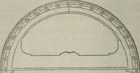
A treatise on land-surveying; comprising the theory developed from five elementary principles; and the practice with the chain alone, the compass, the transit, the theodolite, the plane table, &c. Illustrated by four hundred engravings, and a magnetic chart (1875)
Gillespie, W. M. (William Mitchell), 1816-1868 · New York, D. Appleton · leaf 164
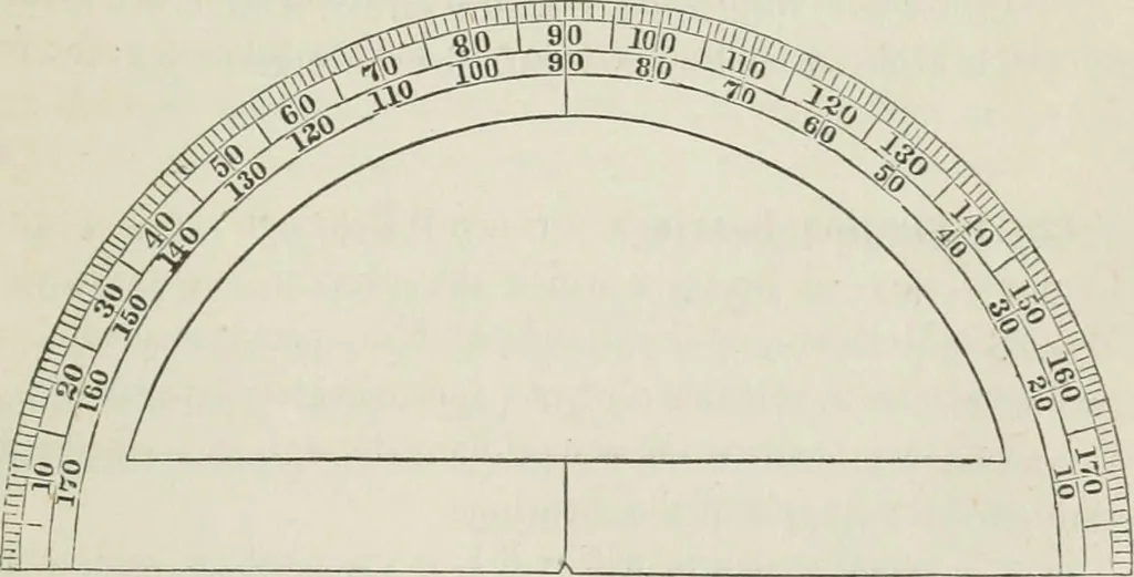
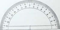
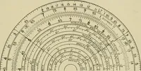
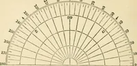
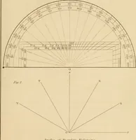
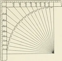
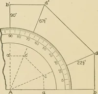
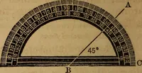
th the 3ompas3, consistein drawing on paper the lines and the angles which have beenmeasured on the ground. The luies are drawn to scale, as haabeen fuUj explained in Part I, Chapter III. The manner of plat-ting angles was referred to in Art. (41), but its explanation hasbeen reserved for this… … degrees, and numbered in both directions. It is, in fact, a aoinia^ture of the instrument, (or of half of it), -with which the angleshave been measured. To lay oflf any angle at any point cf astraight line, place the Protractor so that its straight side, thediameter of the semi-circle, is on the…
Surveying
Internet Archive · California Digital Library · Public Domain Mark 1.0. Free to use for anything.