A treatise on land-surveying; comprising the theory developed from five elementary principles; and the practice with the chain alone, the compass, the transit, the theodolite, the plane table, &c. Illustrated by four hundred engravings, and a magnetic chart (1875)
Gillespie, W. M. (William Mitchell), 1816-1868 · New York, D. Appleton · leaf 217
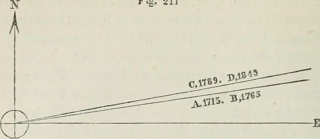
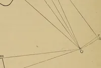
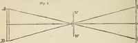
rth surveyor correctly retraced the line of the third, and foundhis marks, but this line was wrong originally and therefore wrongnow. All the surveyors ran their lines on the supposition that theoriginal due East and West line meant East and West as theneedle pointed at the time of the original… … In the above figure the horizontal and vertical Hnes representtrue East and North lines ; and the two upper lines ruiming from leftto right represent the two lines set out by the surveyors and in theyears, there named. (323) Remedy for the evils of the Secular ehan^e. The only complete remedy for…
Surveying
Internet Archive · California Digital Library · Public Domain Mark 1.0. Free to use for anything.