A treatise on levelling, topography, and higher surveying (1876)
Gillespie, W. M. (William Mitchell), 1816-1868, Staley, Cady, b. 1840, ed · New York, D. Appleton and company · leaf 108
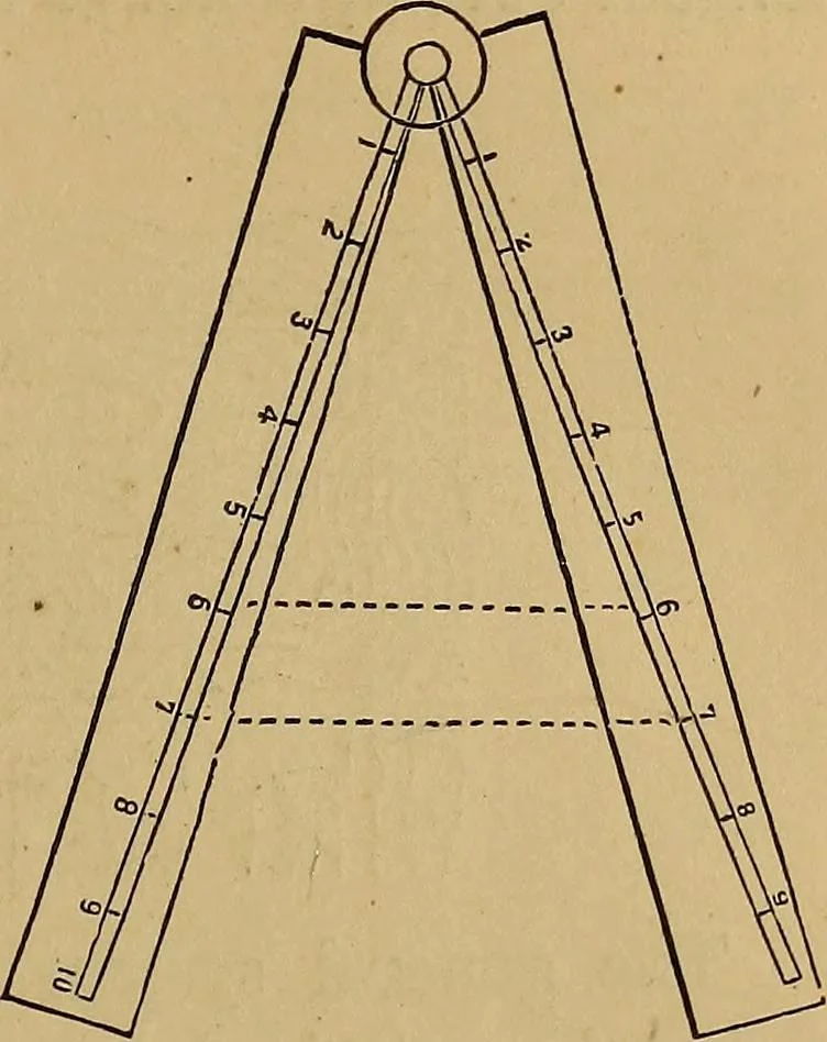
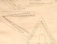
. 103. reach between numbers, on the scalemarked L, corresponding to the dif-ference of the heights of the twogiven points; i. e., from 6 to 6, or7 to 7, and so on. The sector isthen set for all the interpolationsbetween these two points. Then note the difference ofheight between the desired… … (148.) Ridges and Thalwegs. The general character of thesurface of a country is given by two sets of lines: the ridge-lines, or water-shed lines / and the thalwegs or lowest linesof valleys. . The former are lines which divide the water falling uponthem, and from which it passes off on contrary…
Surveying
Internet Archive · Library of Congress · Public Domain Mark 1.0. Free to use for anything.